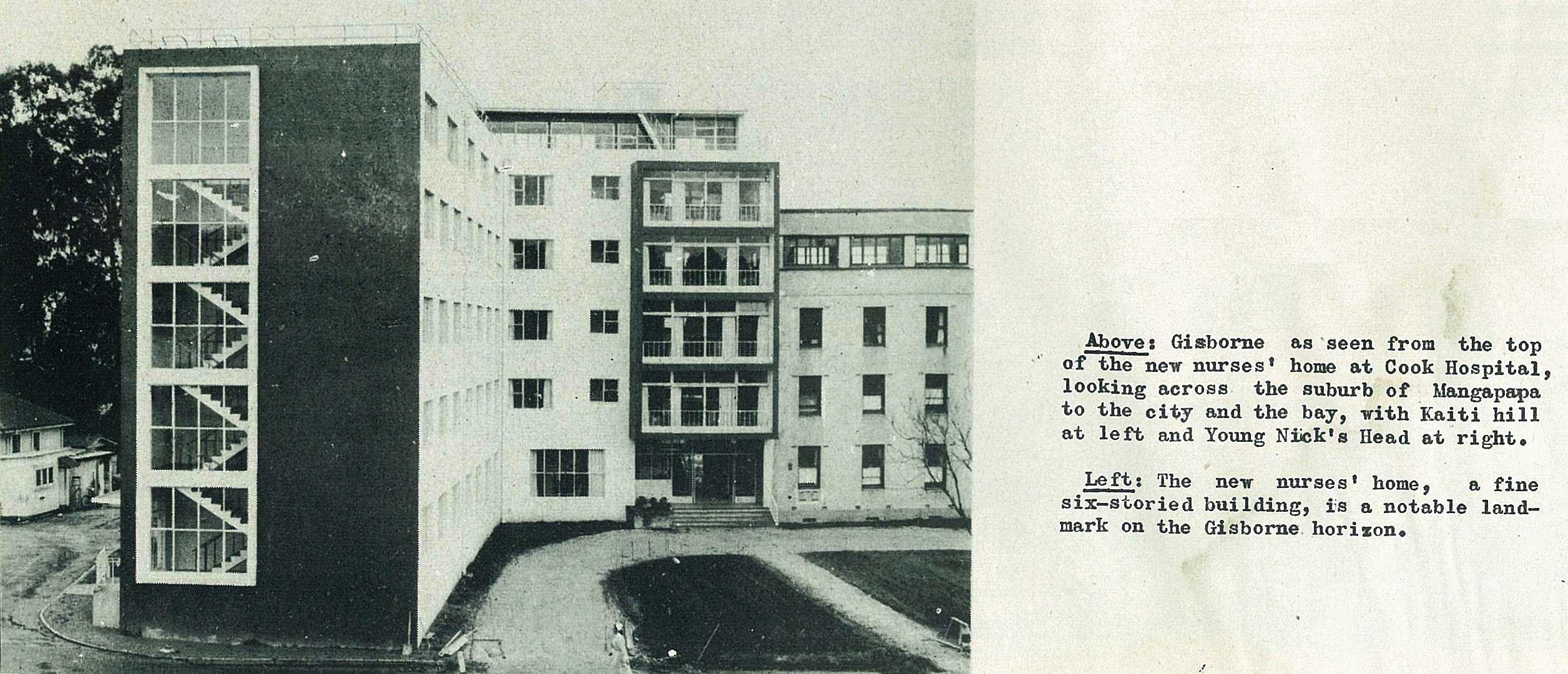
36
37
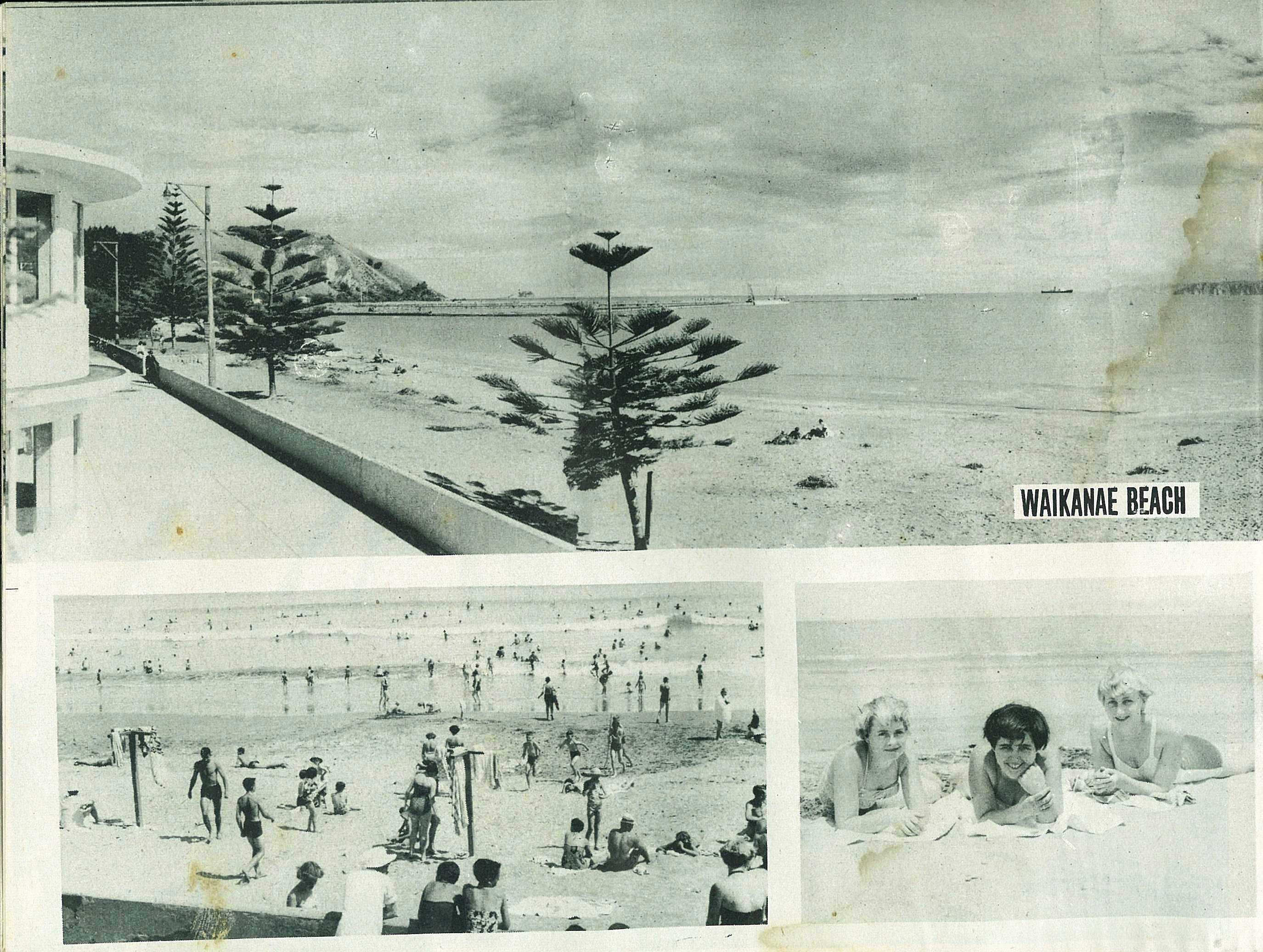
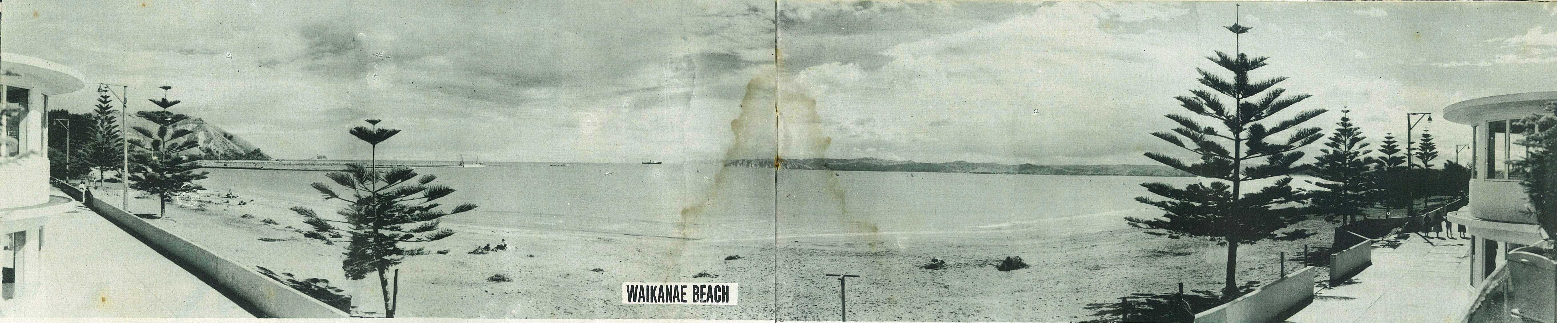
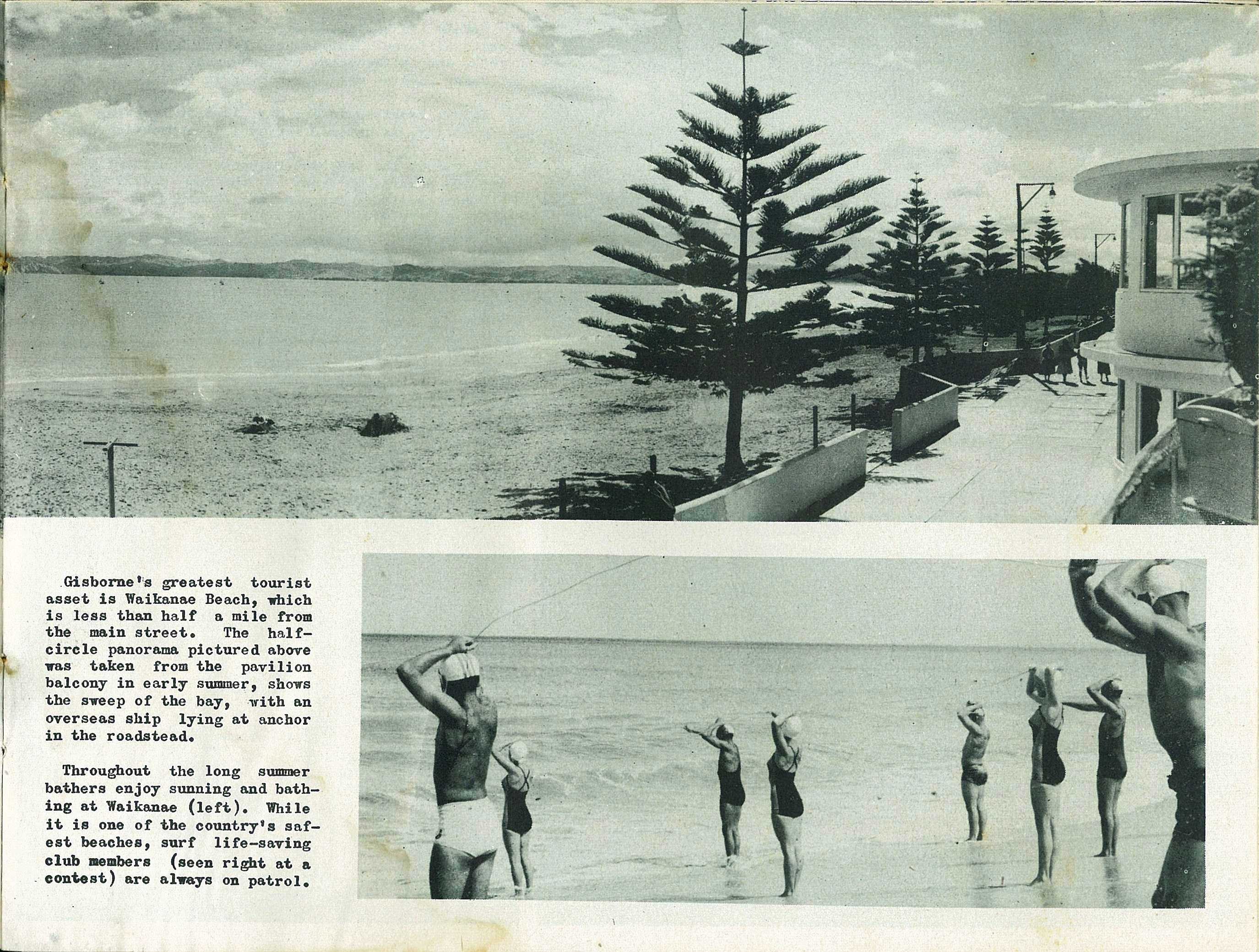
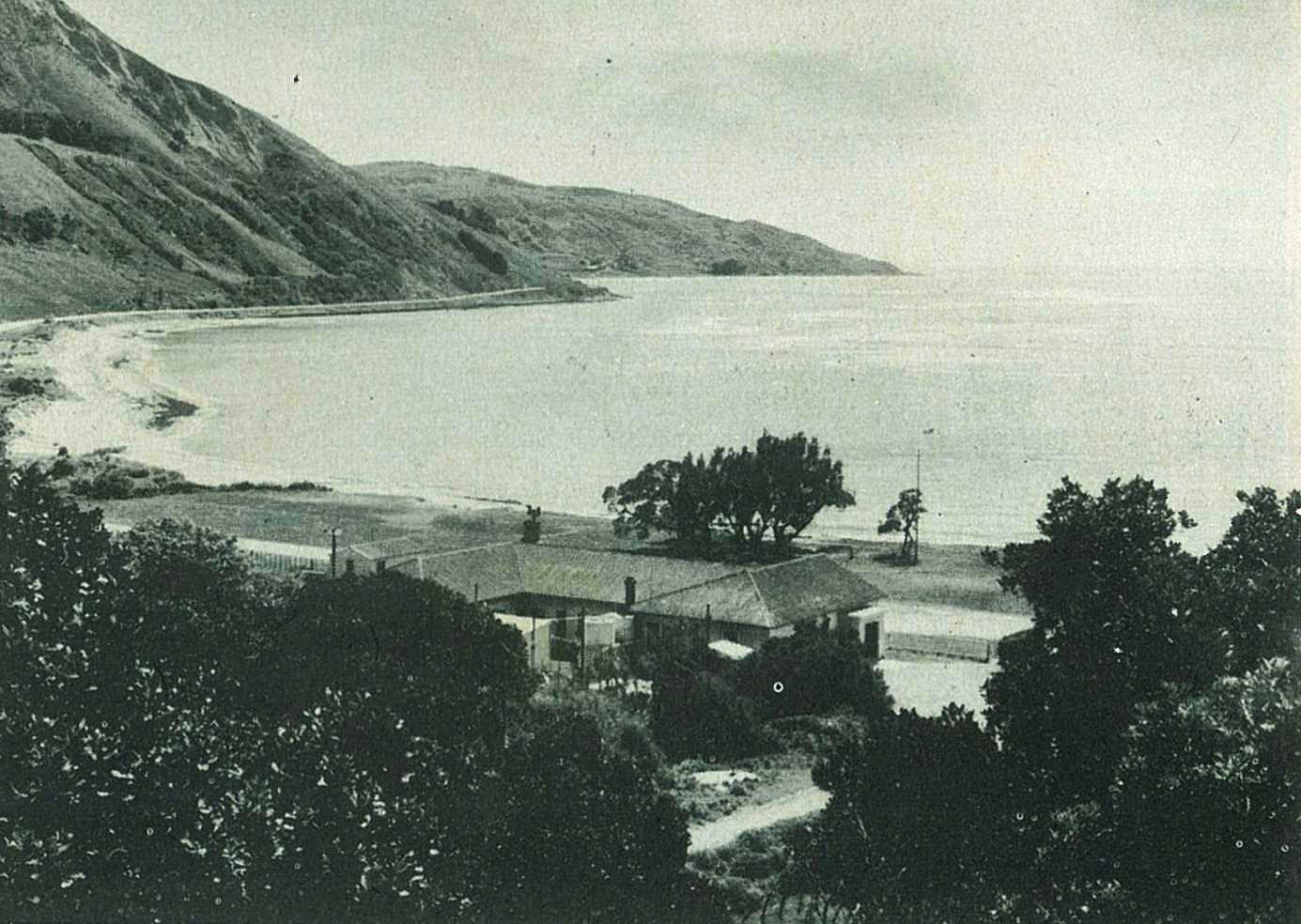
Gisborne's greatest tourist asset is Waikanae Beach, which is less than half a mile from the main street. The half-circle panorama pictured above was taken from the pavilion balcony in early summer, shows the sweep of the bay, with an overseas ship lying at anchor in the roadstead.
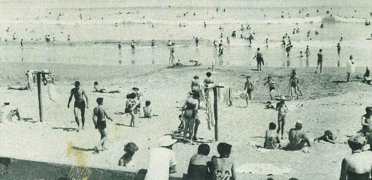
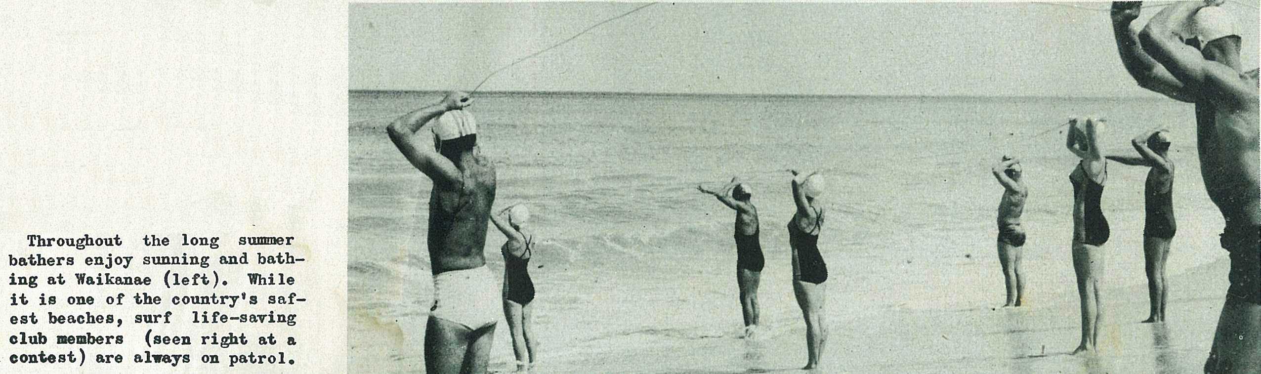
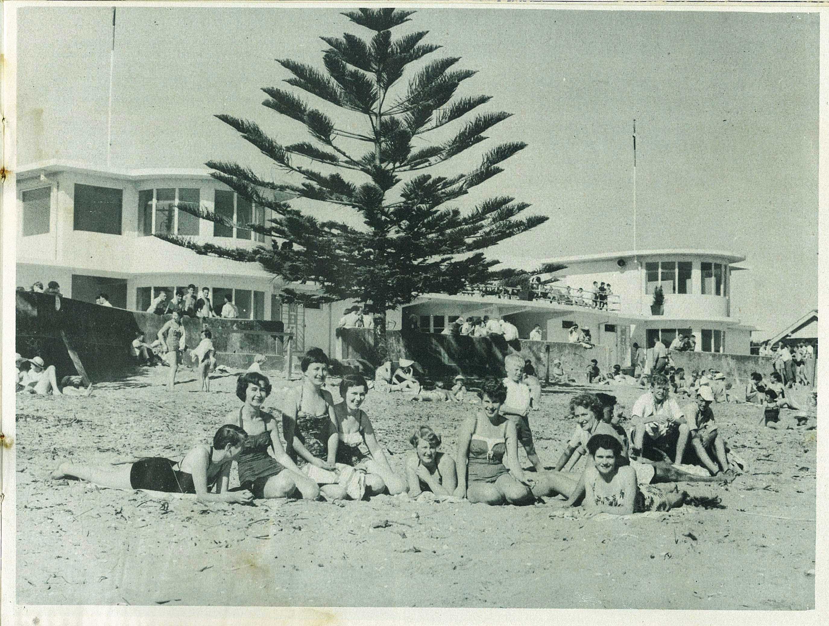
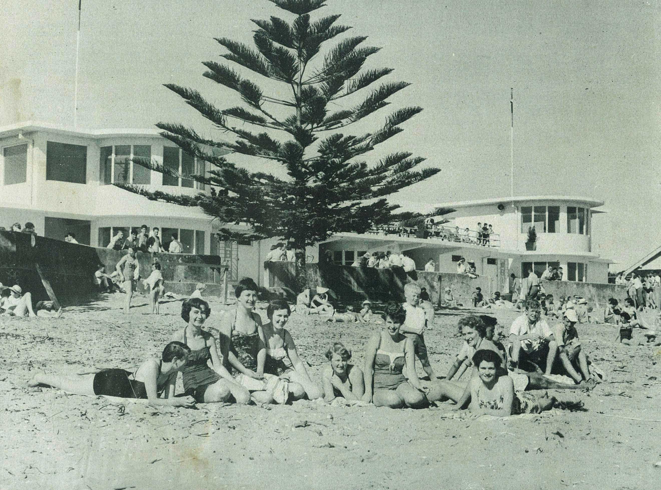
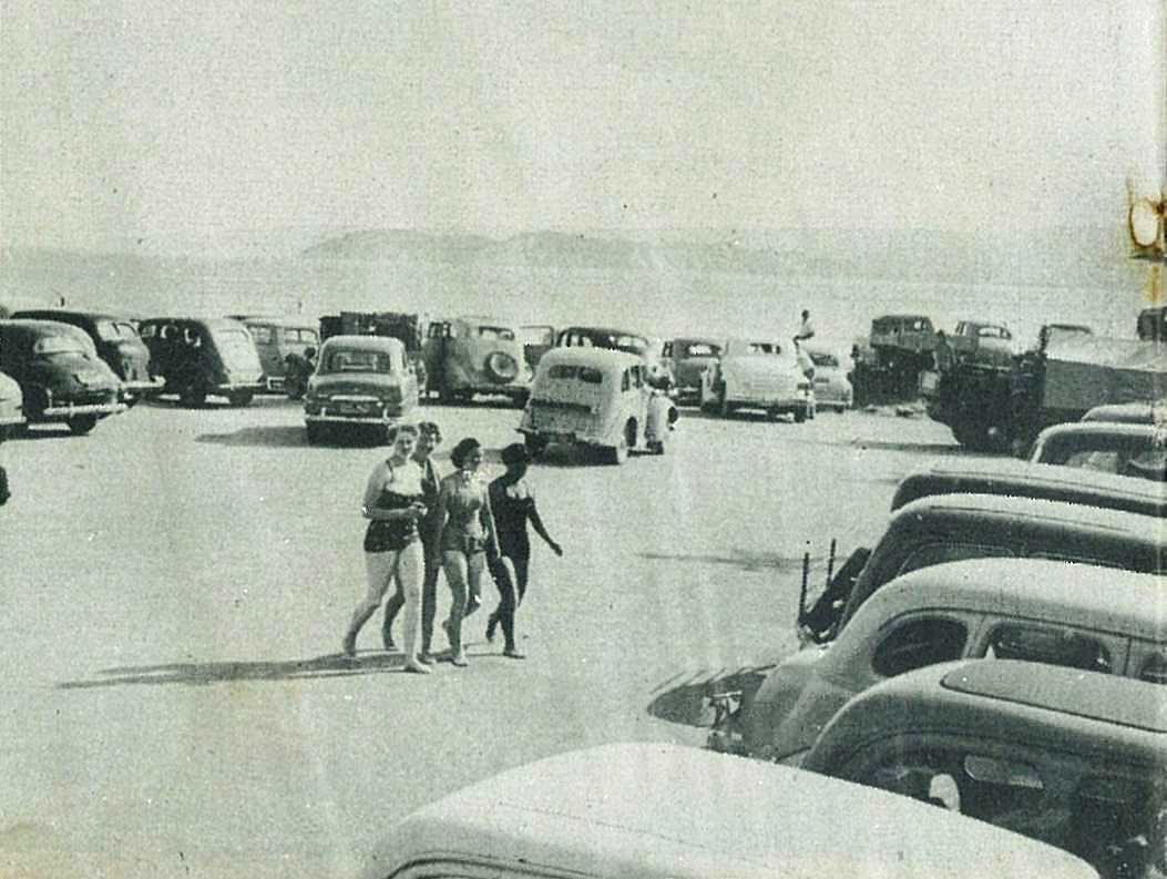
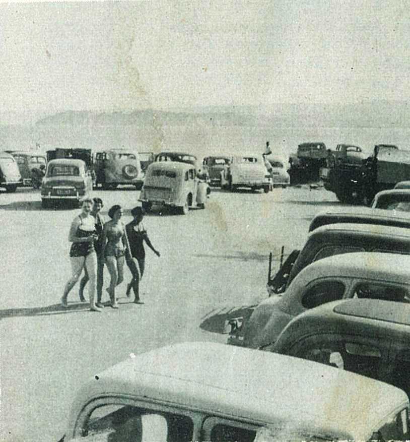
Throughout the long summer bathers enjoy sunning and bathing at Waikanae (above). While it is one of the country's safest beaches, surf life-saving club members (seen right at a contest) are always on patrol.
38
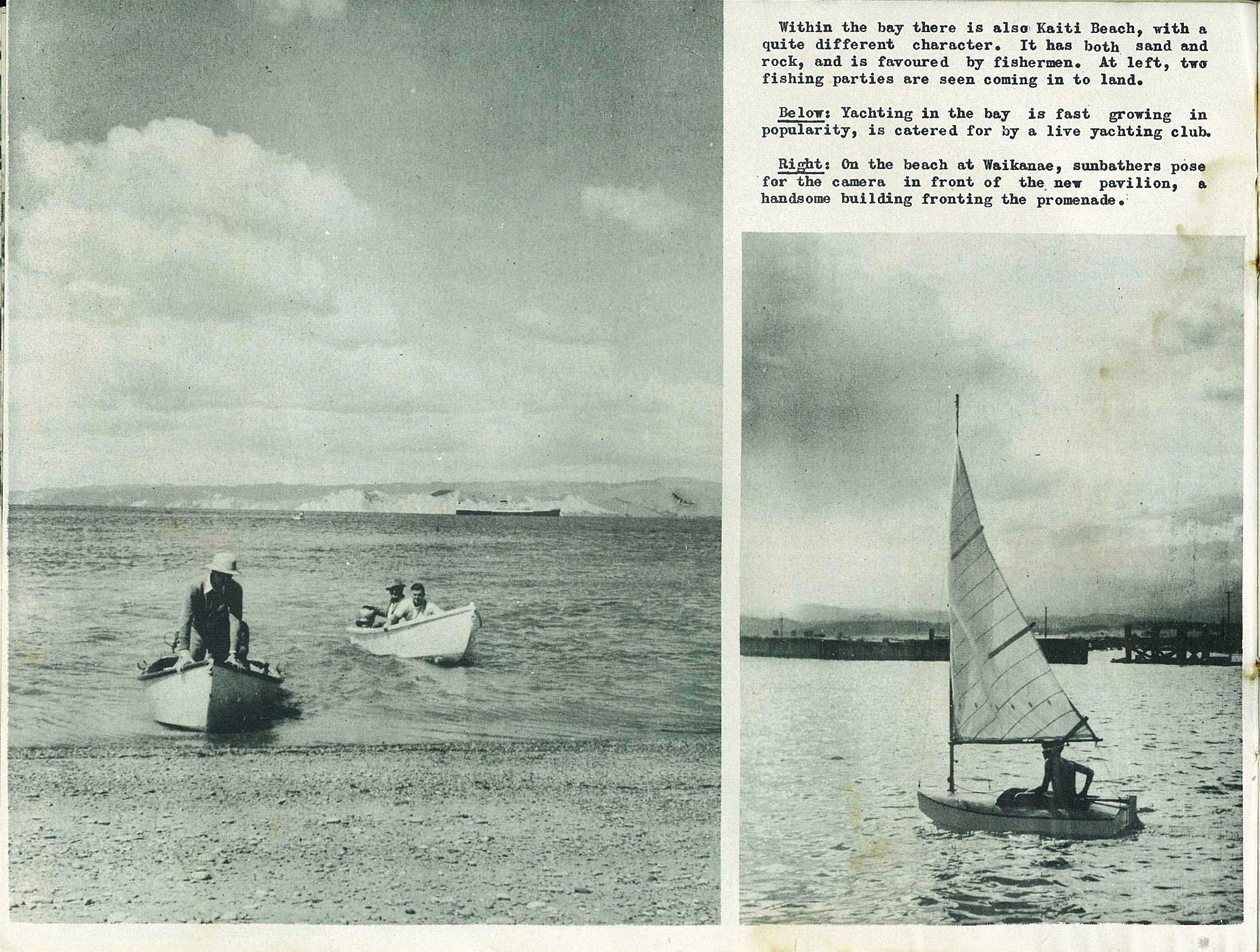
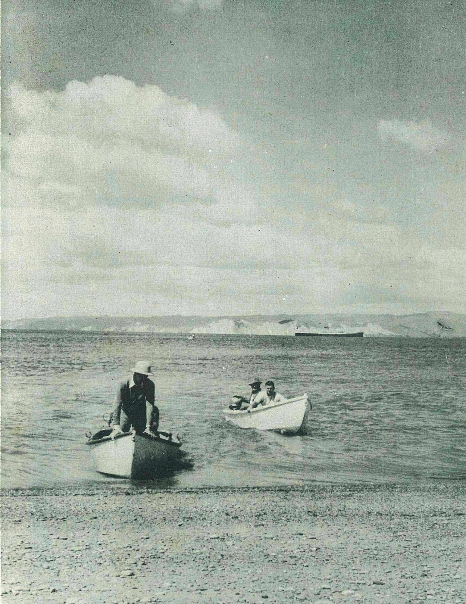
Within the bay there is also Kaiti Beach, with a quite different character. It has both sand and rock, and is favoured by fishermen. At below, two fishing parties are seen coming in to land.
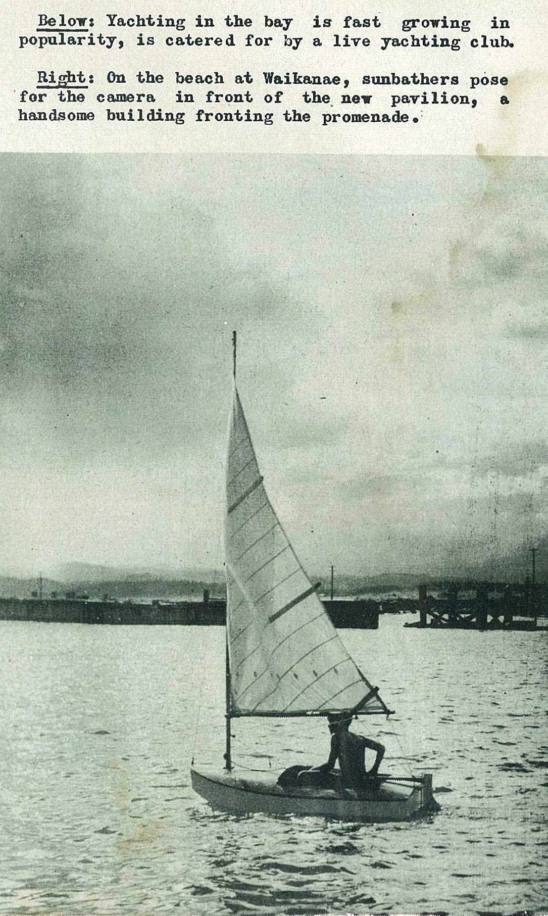
39
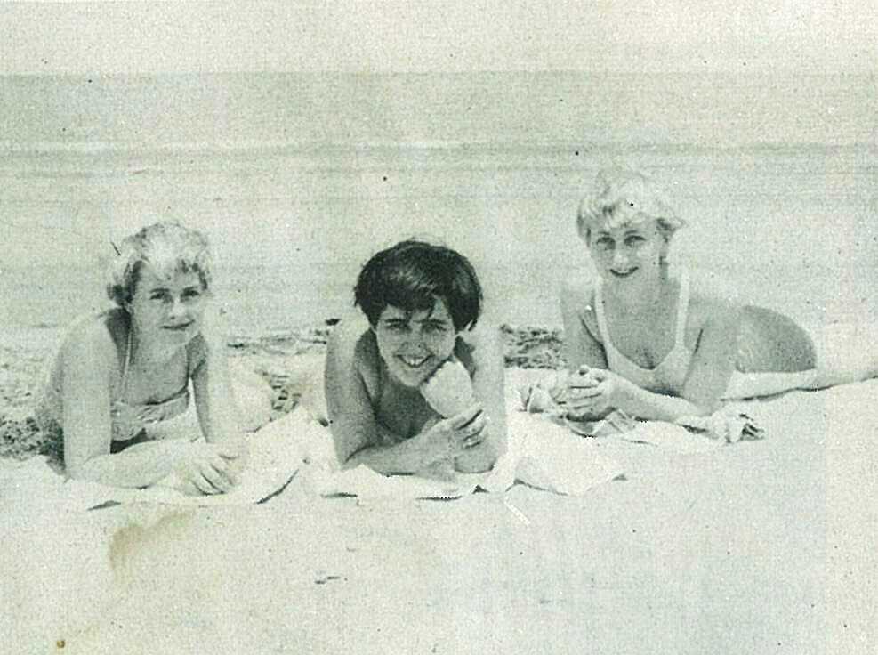
On the beach at Waikanae, sunbathers pose for the camera in front of the. new pavilion, a handsome building fronting the promenade.
40
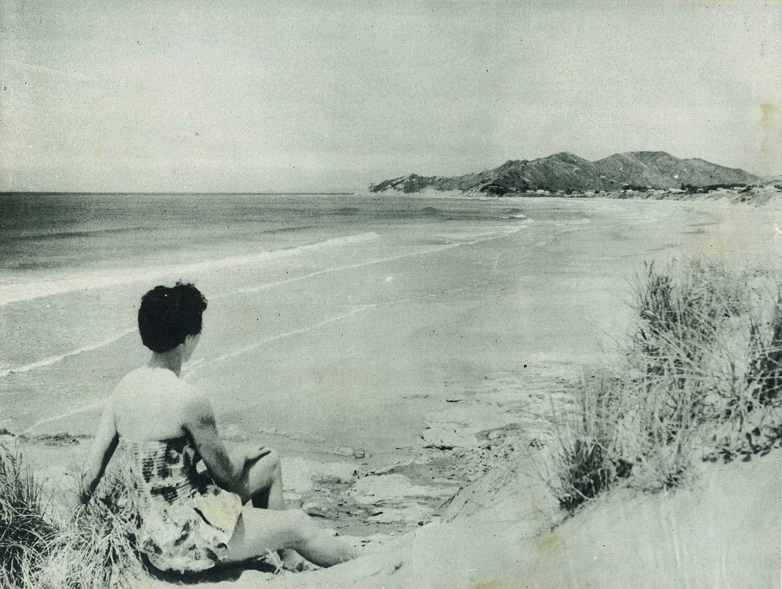
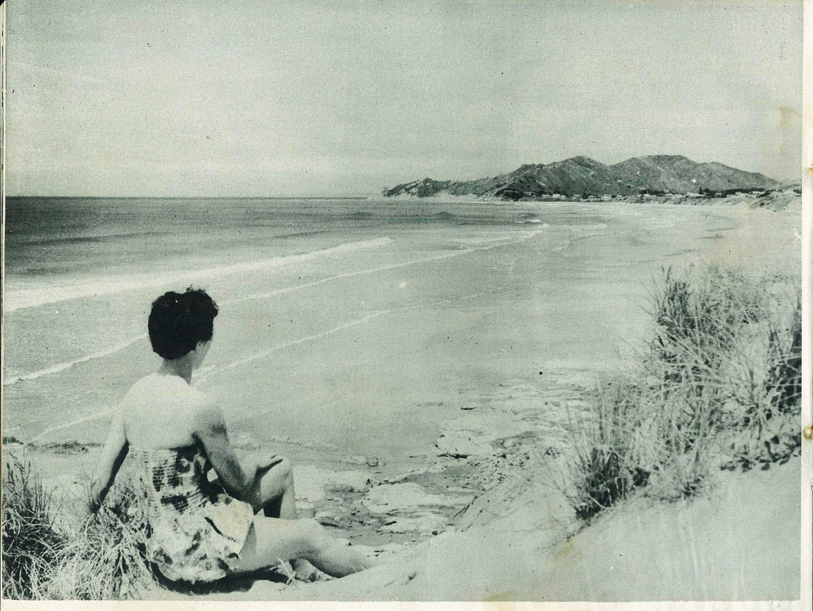
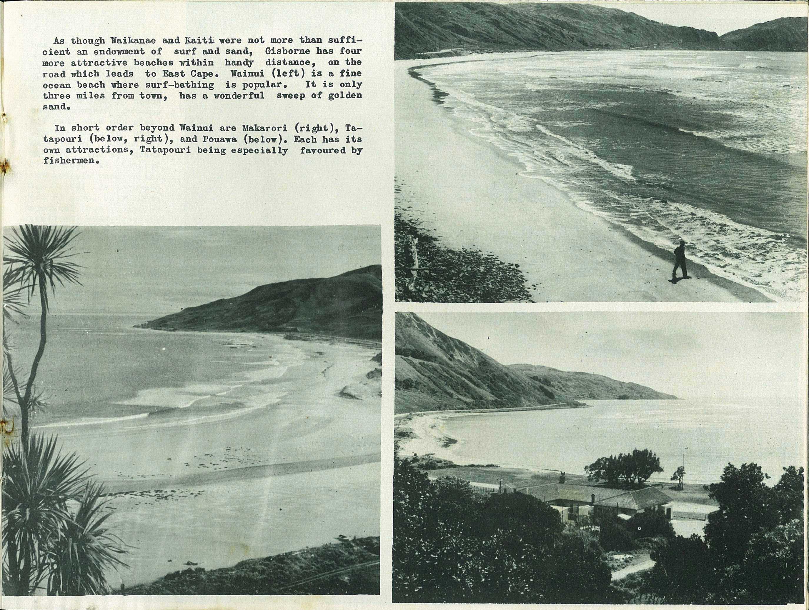
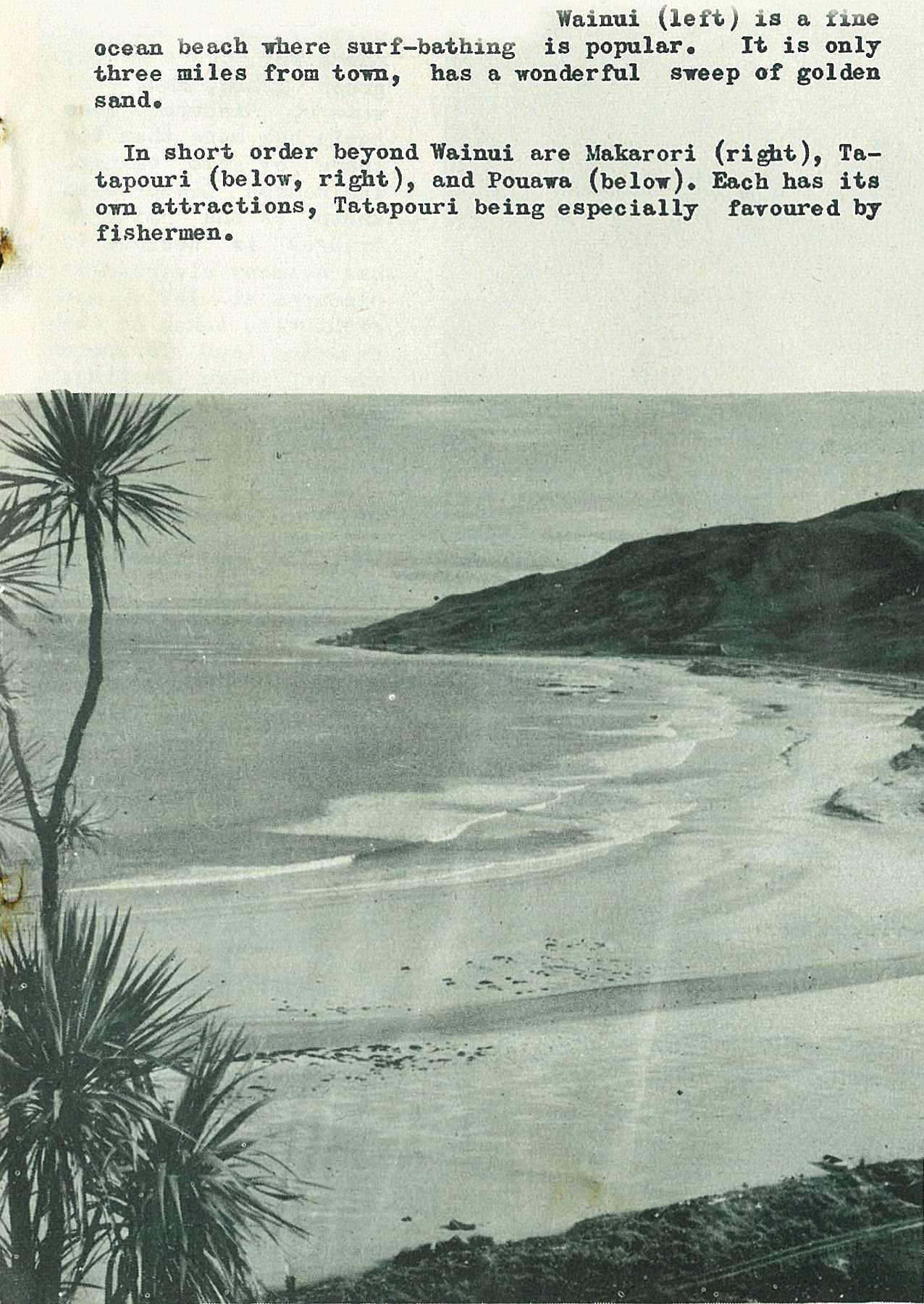
Wainui is a fine ocean beach where surf-bathing is popular. It is only three miles from torn, has a wonderful sweep of golden sand.
41
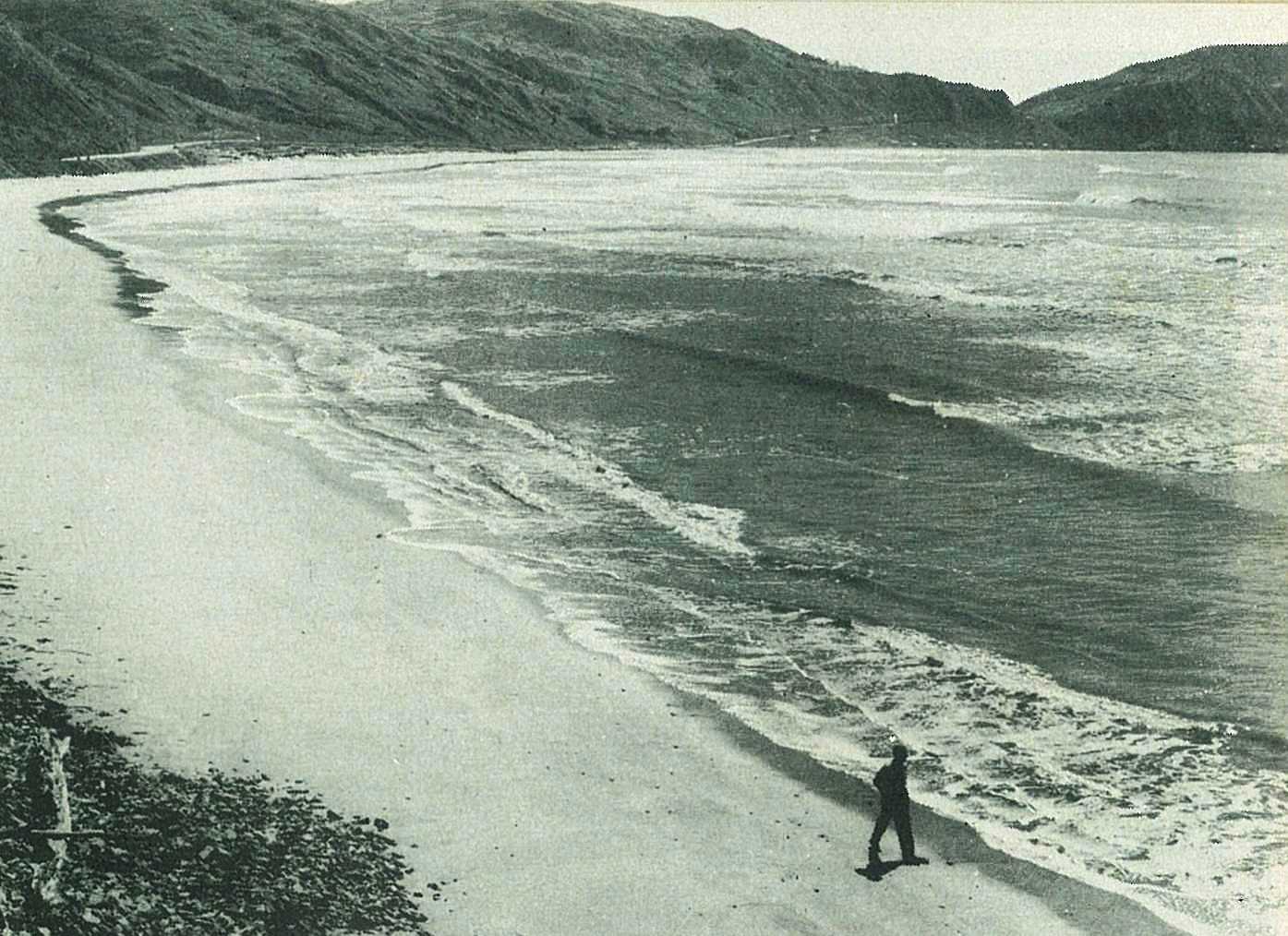
As though Waikanae and Kaiti were not more than sufficient an endowment of surf and sand, Gisborne has four more attractive beaches within handy distance, on the road which leads to East Cape.
Each has its own attractions, Tatapouri being especially favoured by fishermen.
42
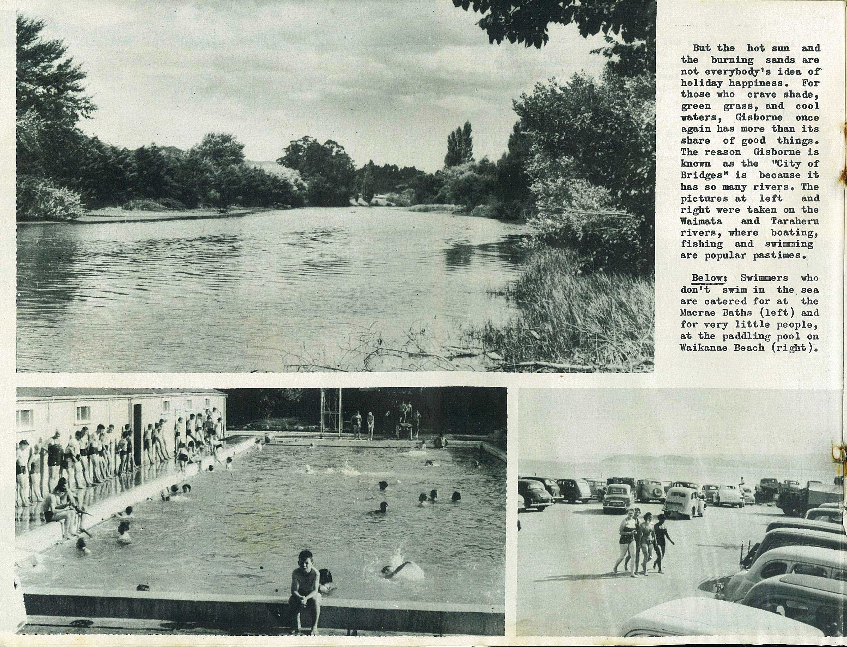
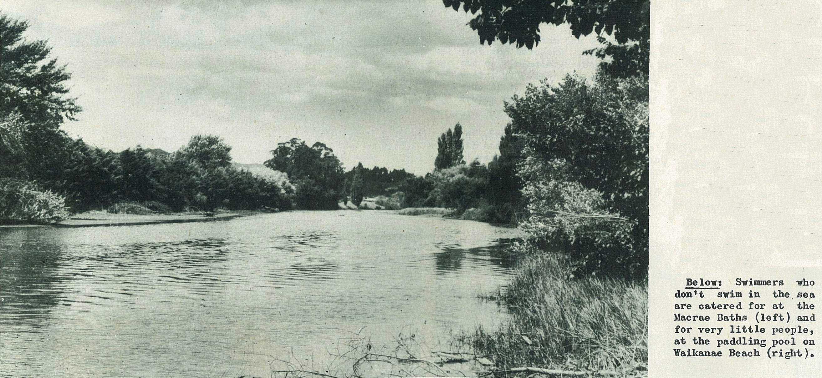
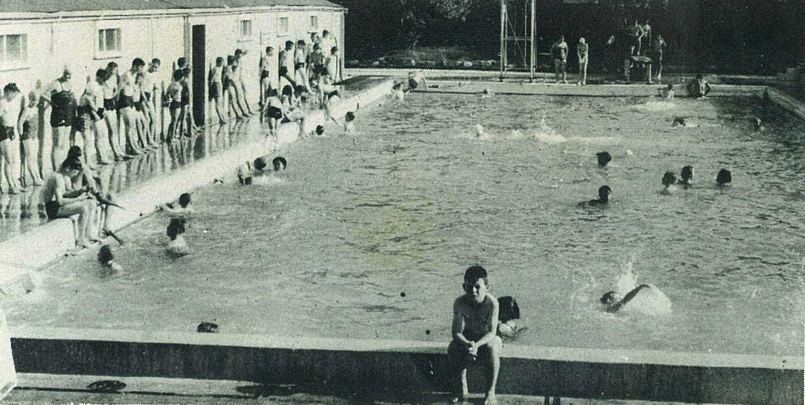
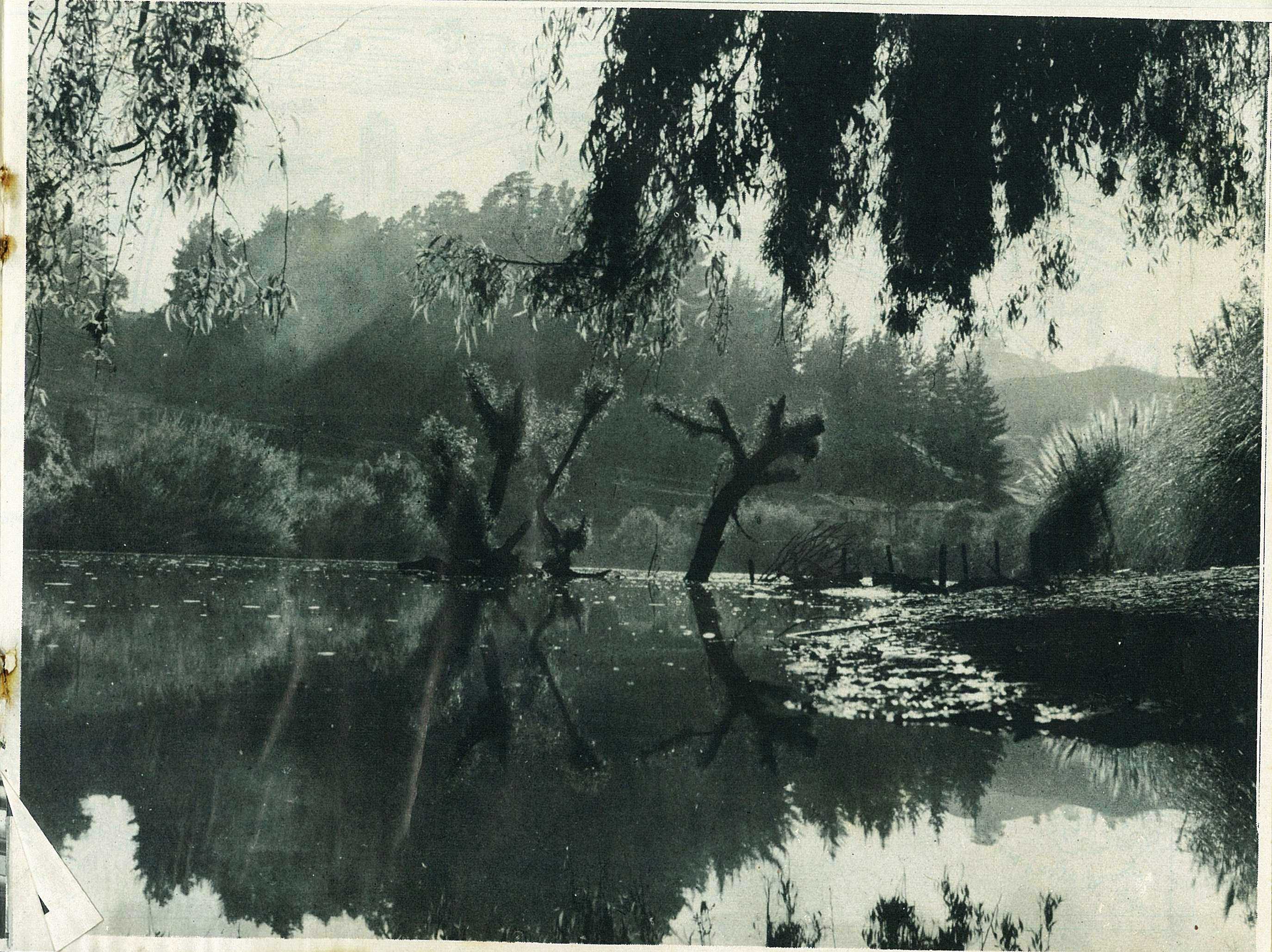
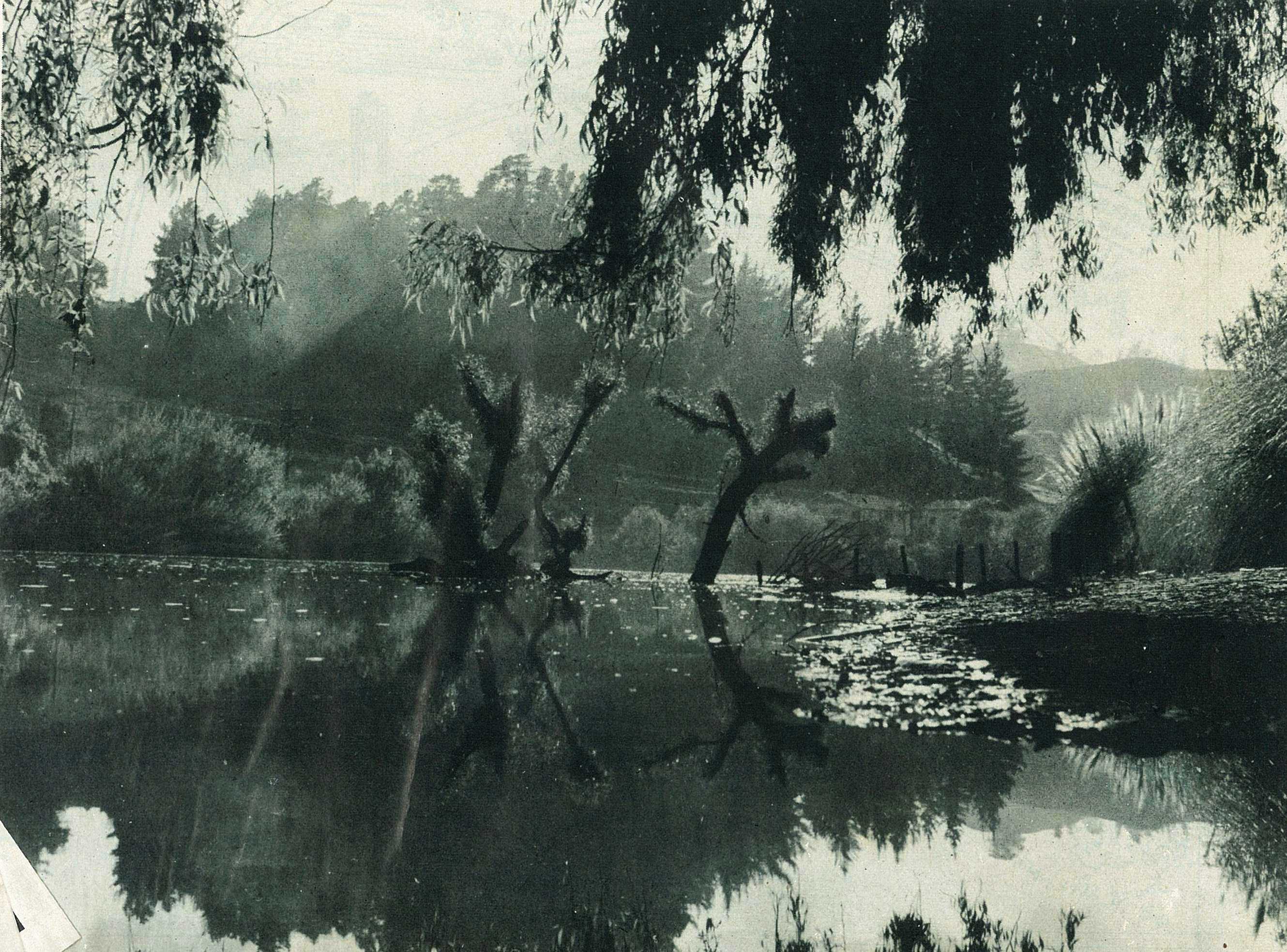
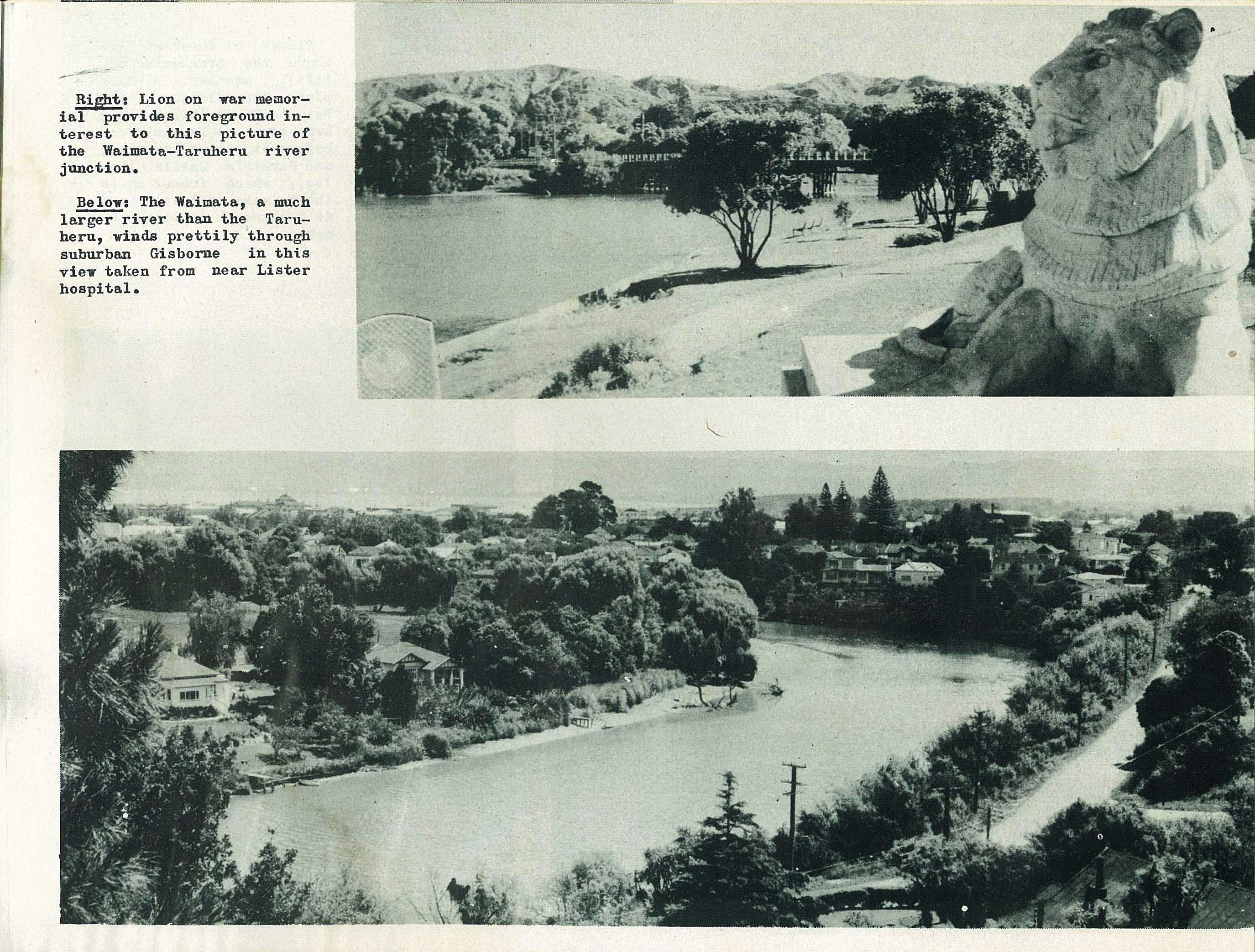
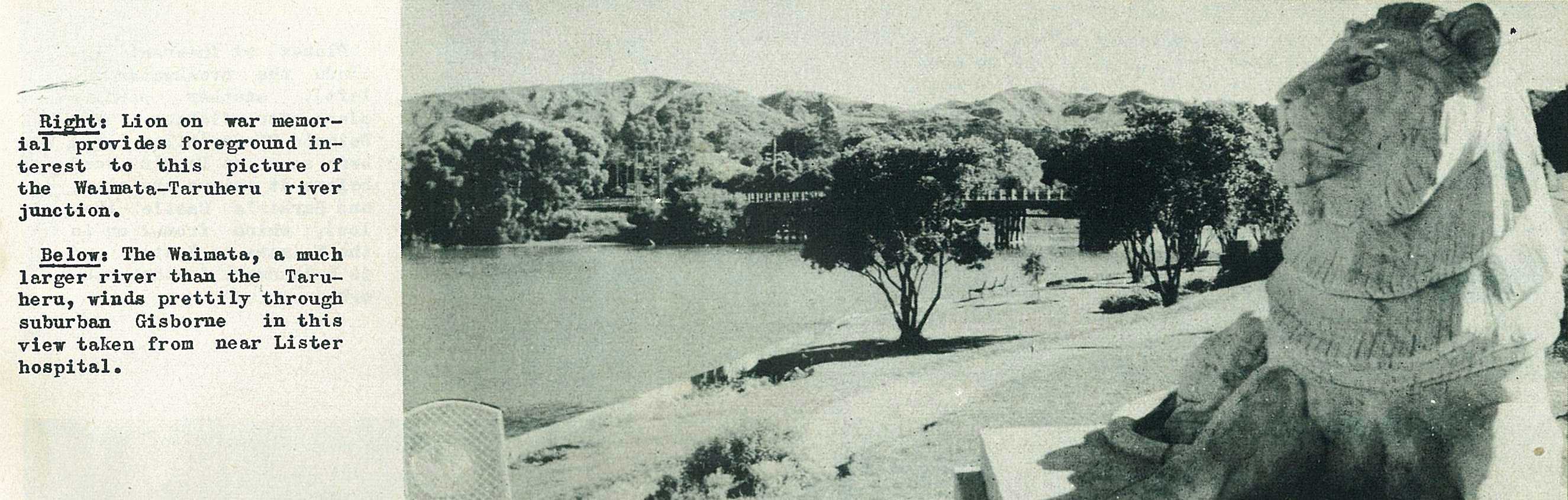
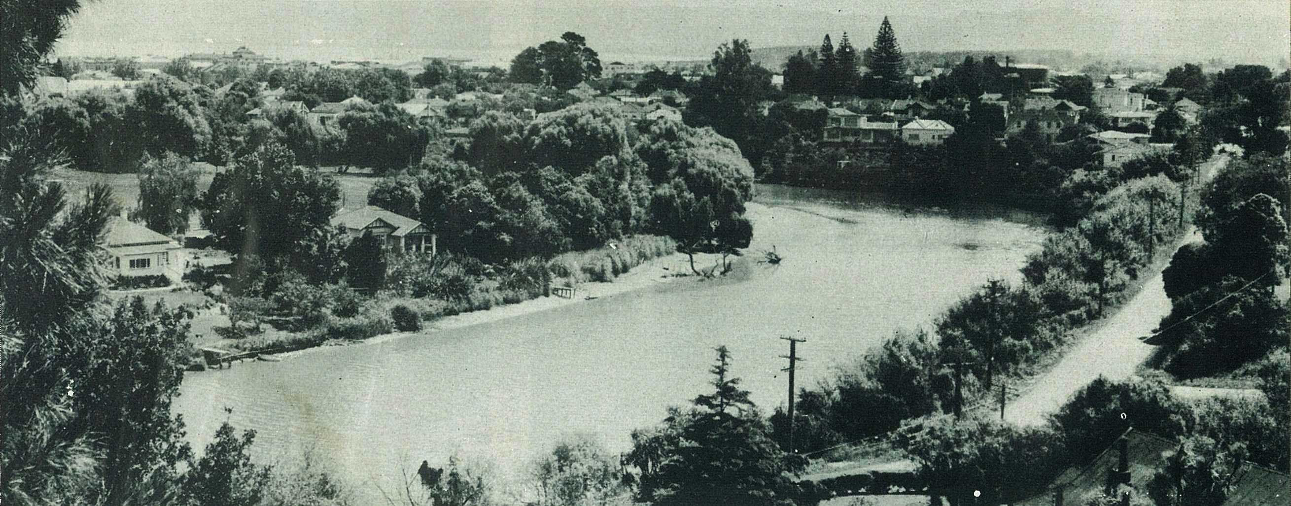
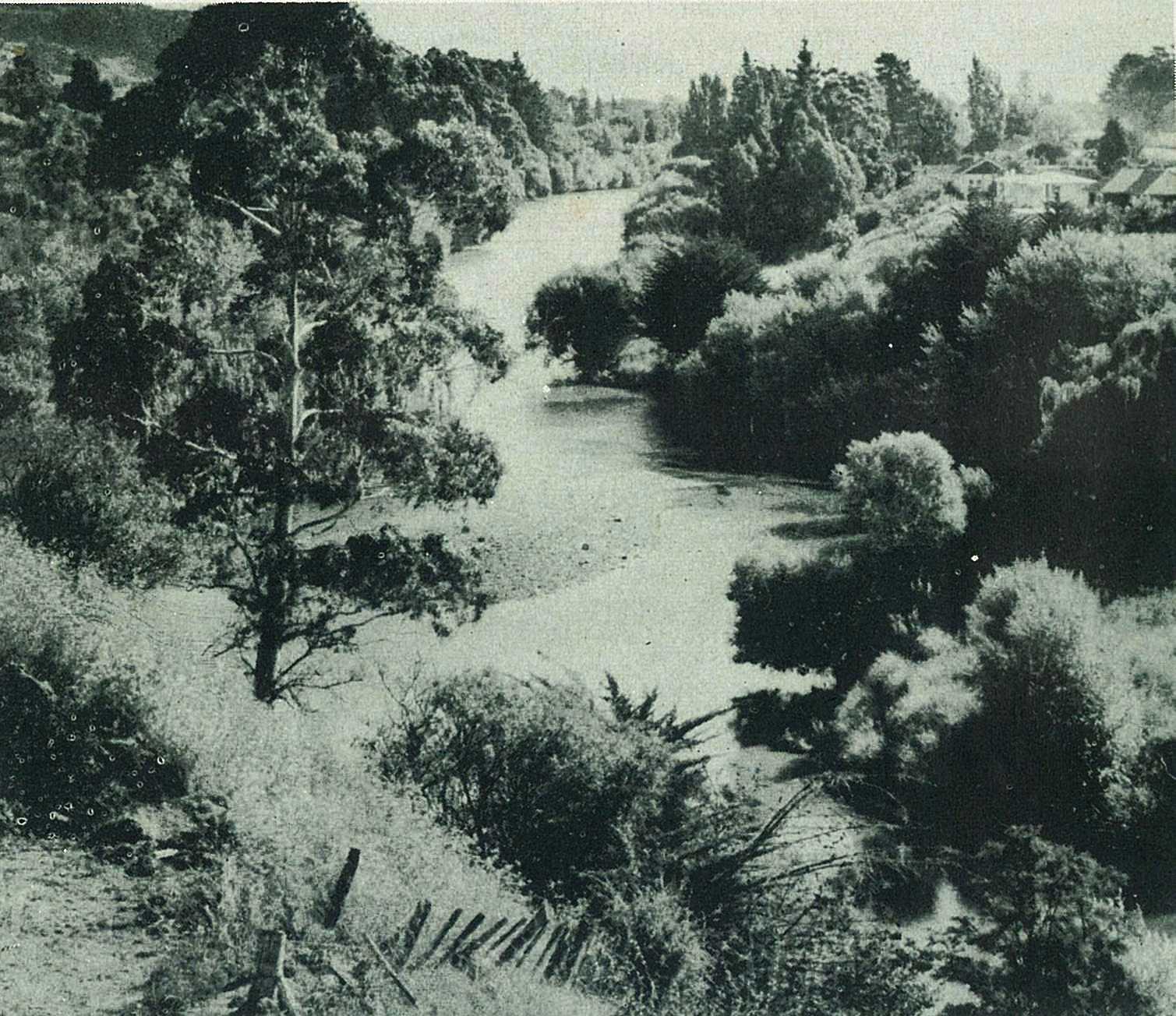
But the hot sun and the burning sands are not everybody's idea of holiday happiness. For those who crave shade, green grass, and cool waters, Gisborne once again has more than its share of good things. The reason Gisborne is known as the "City of Bridges" is because it has so many rivers. The pictures at left and right were taken on the Waimata and Taraheru rivers, where boating, fishing and swimming are popular pastimes.
43
44
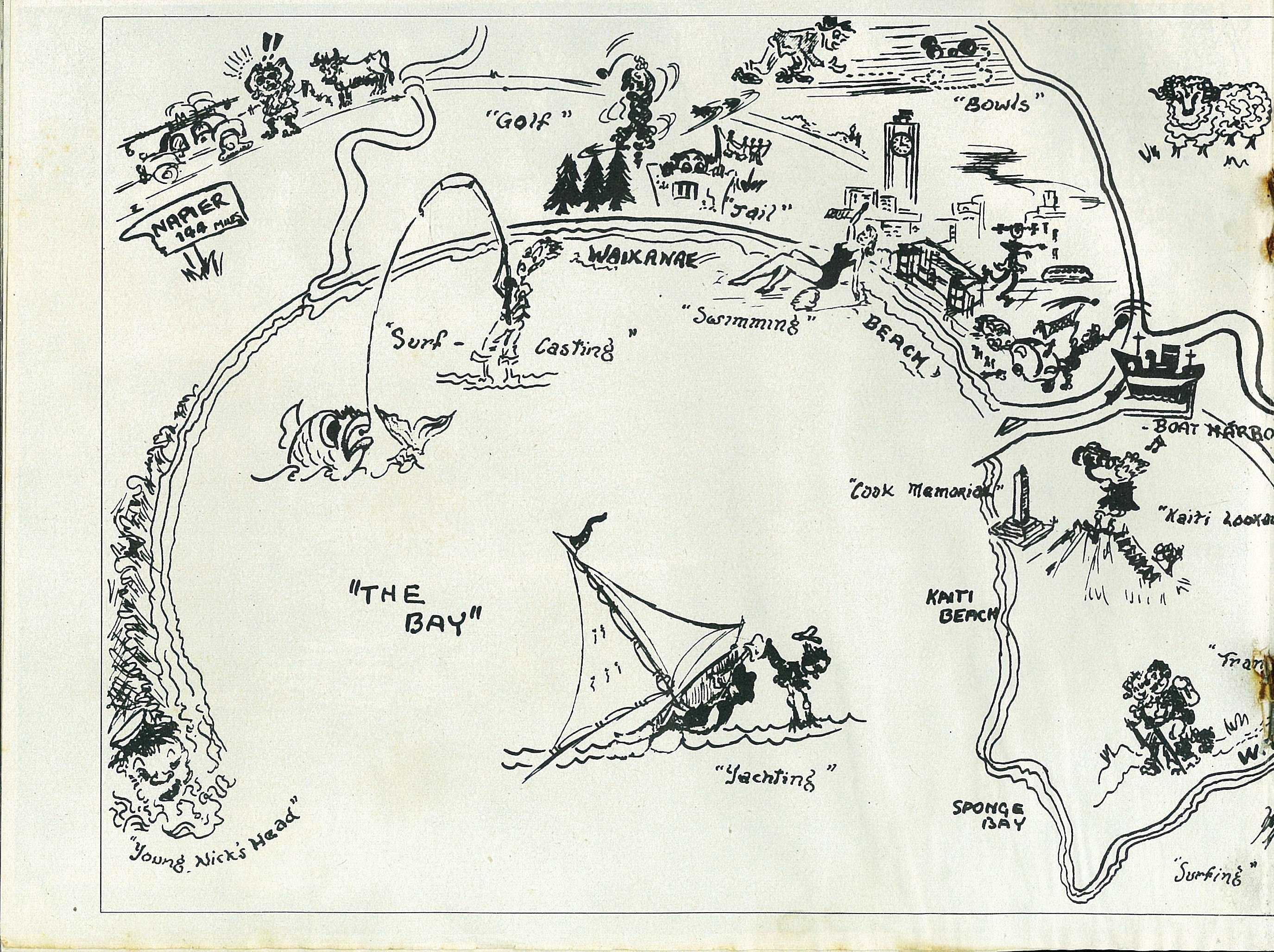
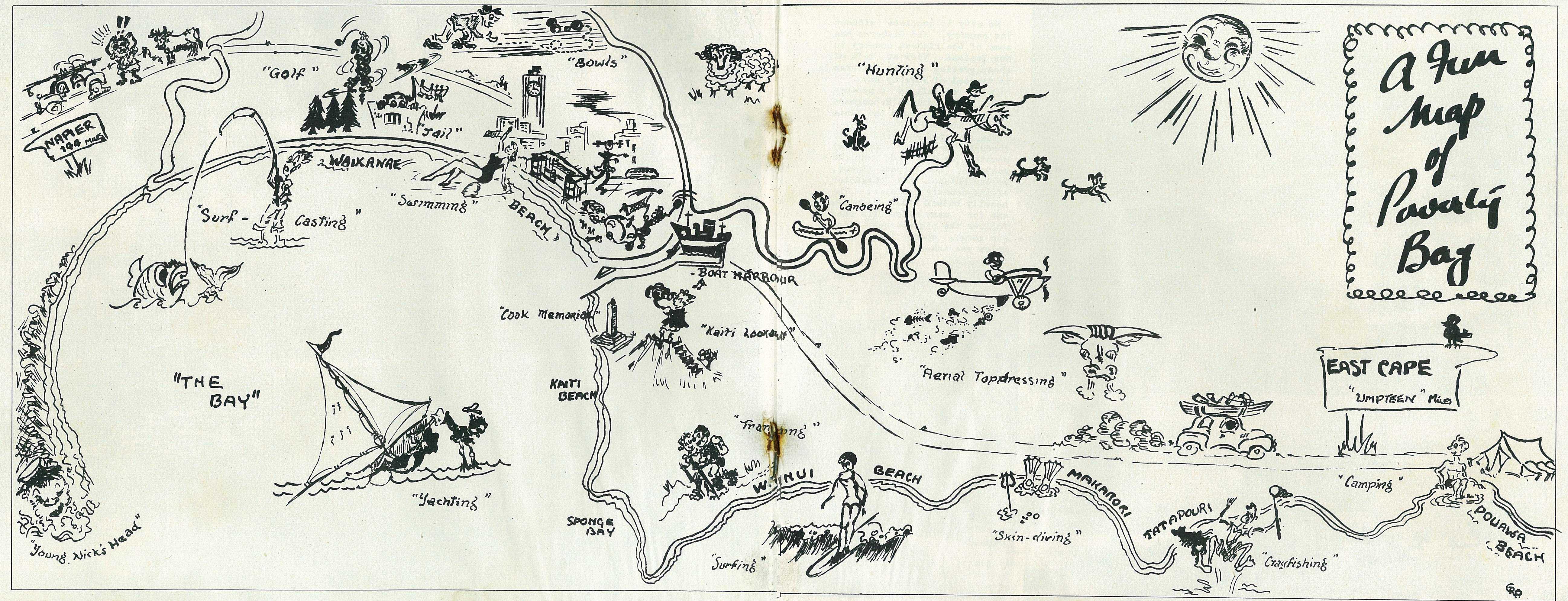
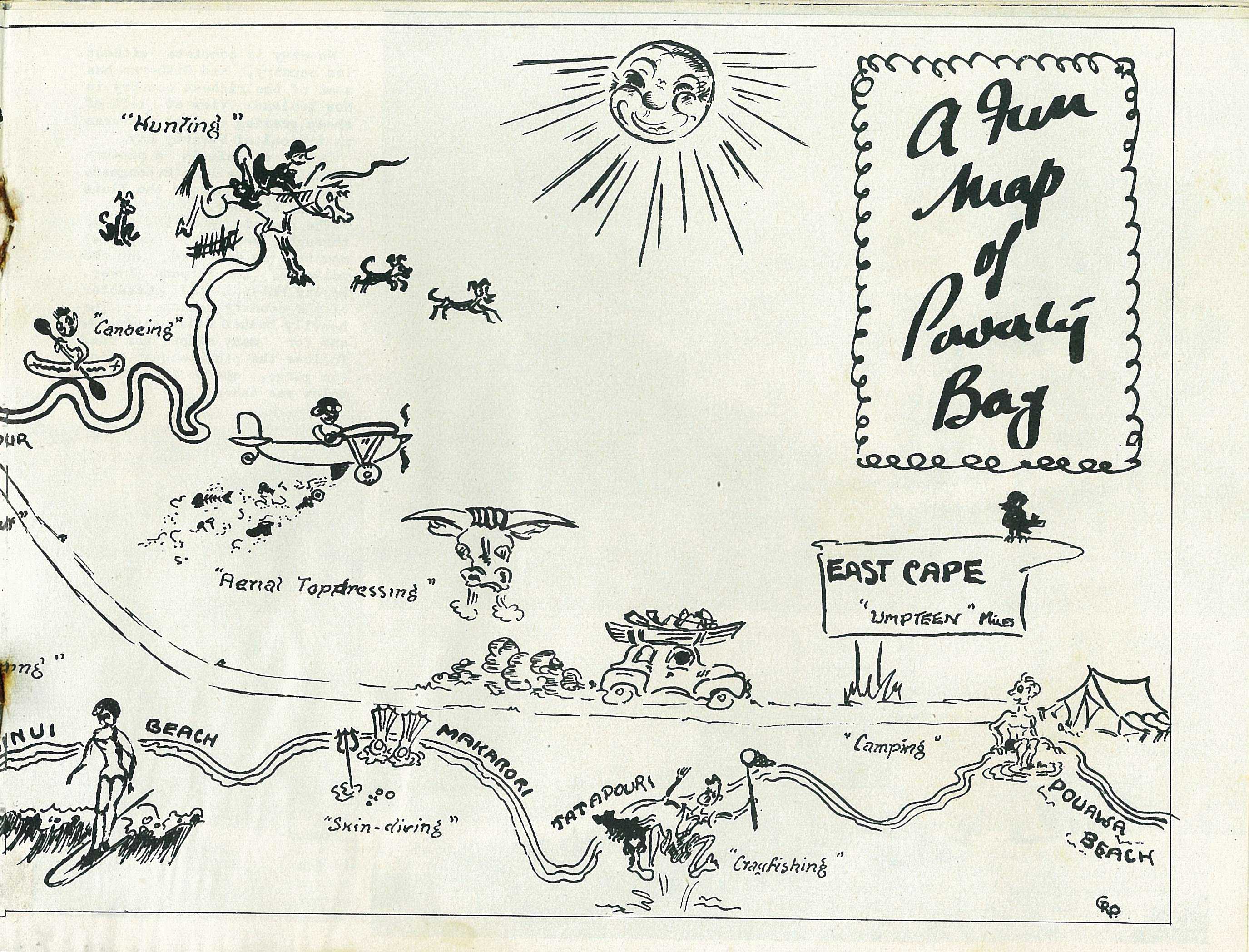
A Fun Map of Poverty Bay
45
46
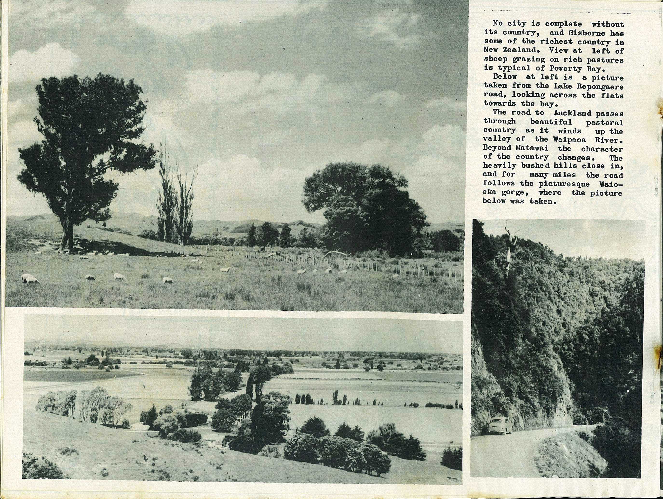
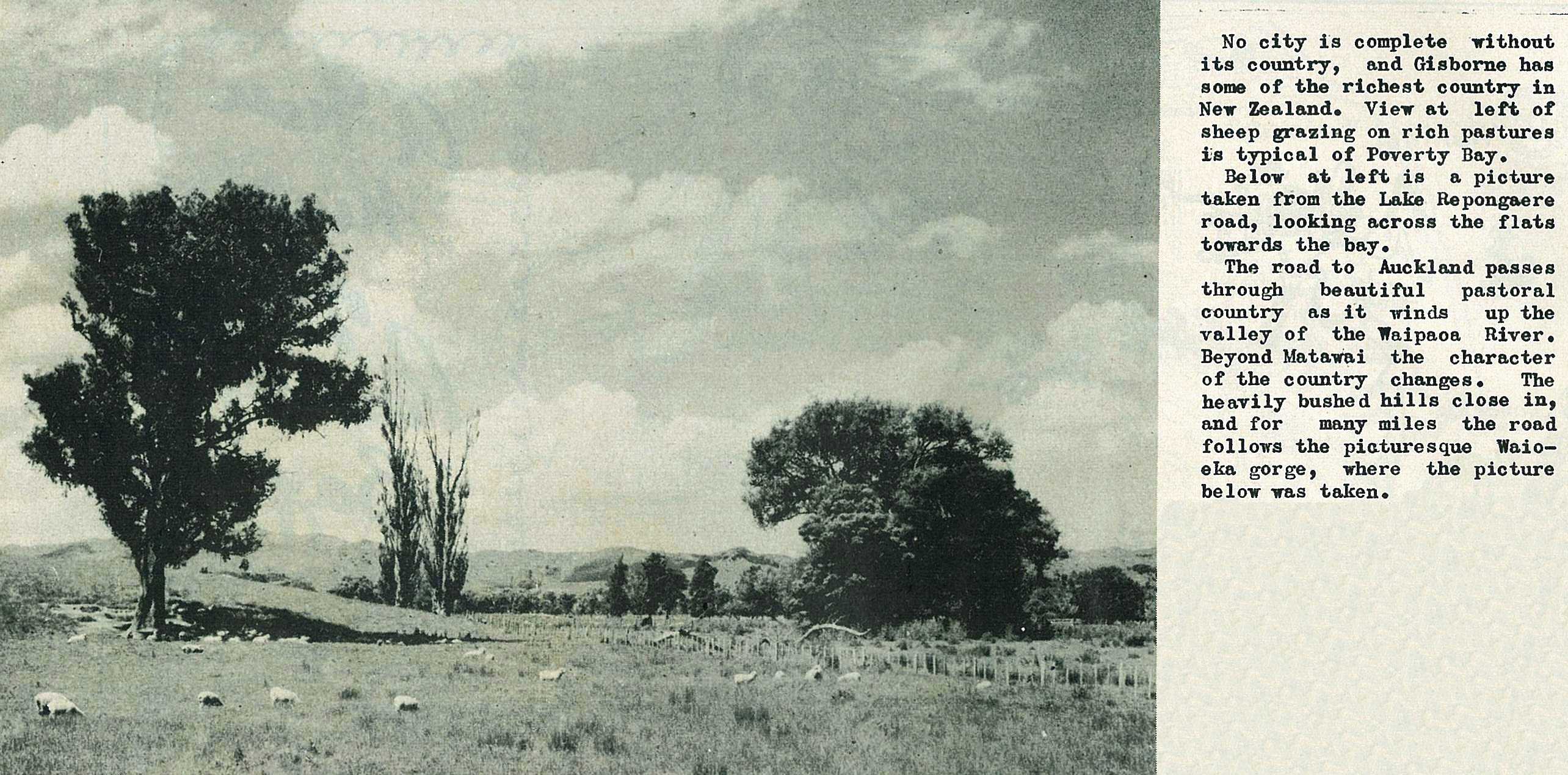
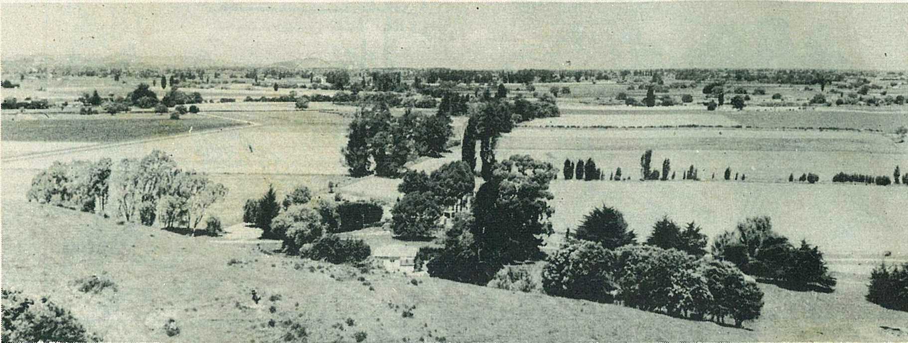
No city is complete without its country, and Gisborne has some of the richest country in New Zealand.
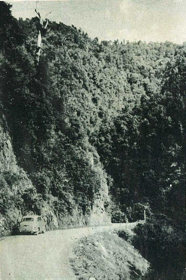
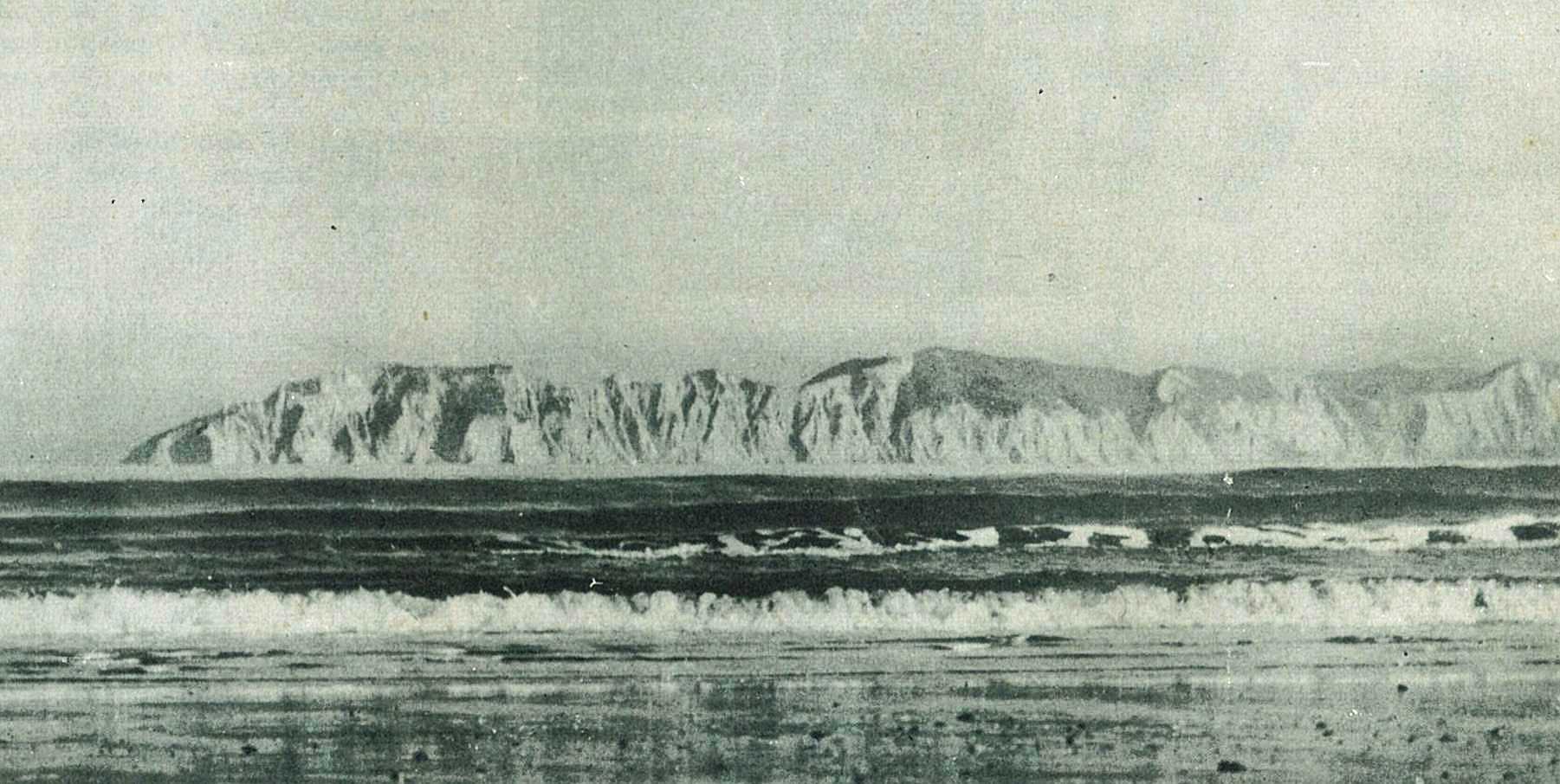
The road to Auckland passes through beautiful pastoral country as it winds up the valley of the Waipaoa River. Beyond Matawai the character of the country changes. The heavily bushed hills close in, and for many miles the road follows the picturesque Waioeka gorge, where the picture below was taken.
47
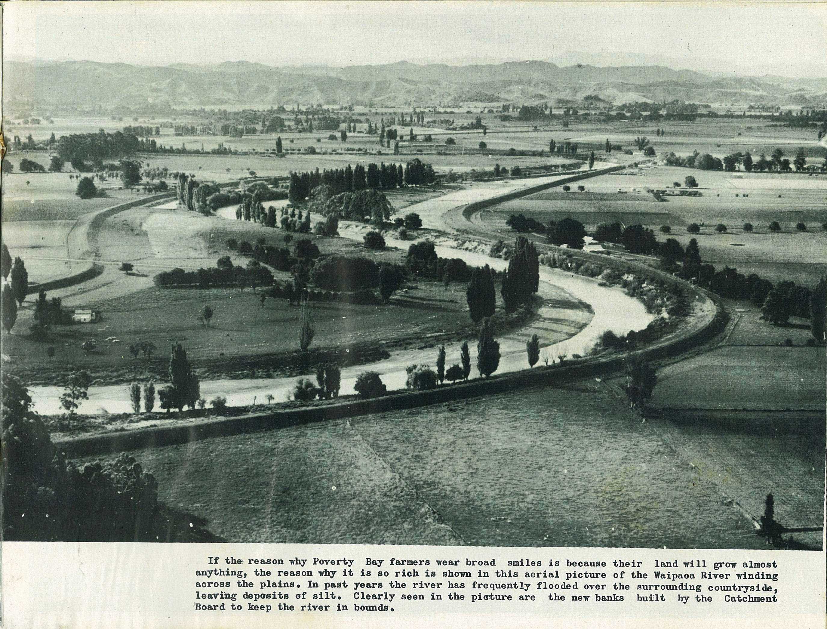
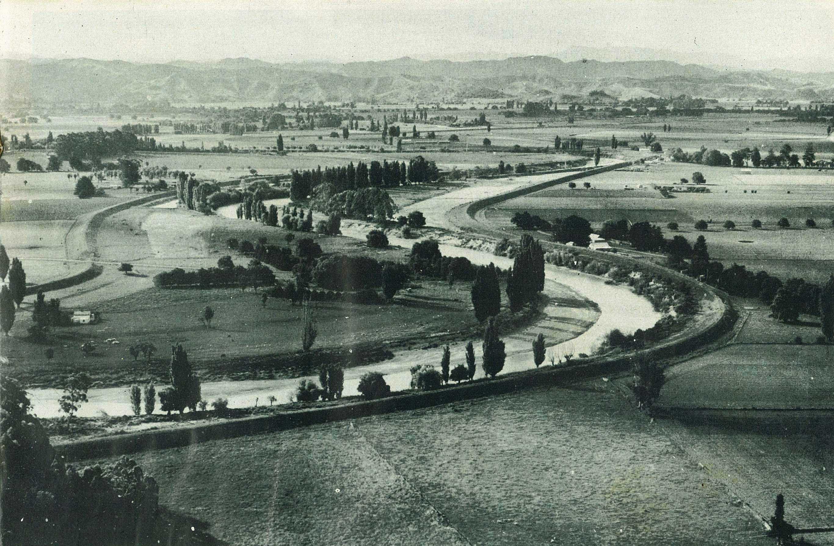
If the reason why Poverty Bay farmers wear broad smiles is because their land will grow almost anything, the reason why it is so rich is shown in this aerial picture of the Waipaoa River winding across the plains. In past years the river has frequently flooded over the surrounding countryside, leaving deposits of silt. Clearly seen in the picture are the new banks built by the Catchment Board to keep the river in bounds.
48
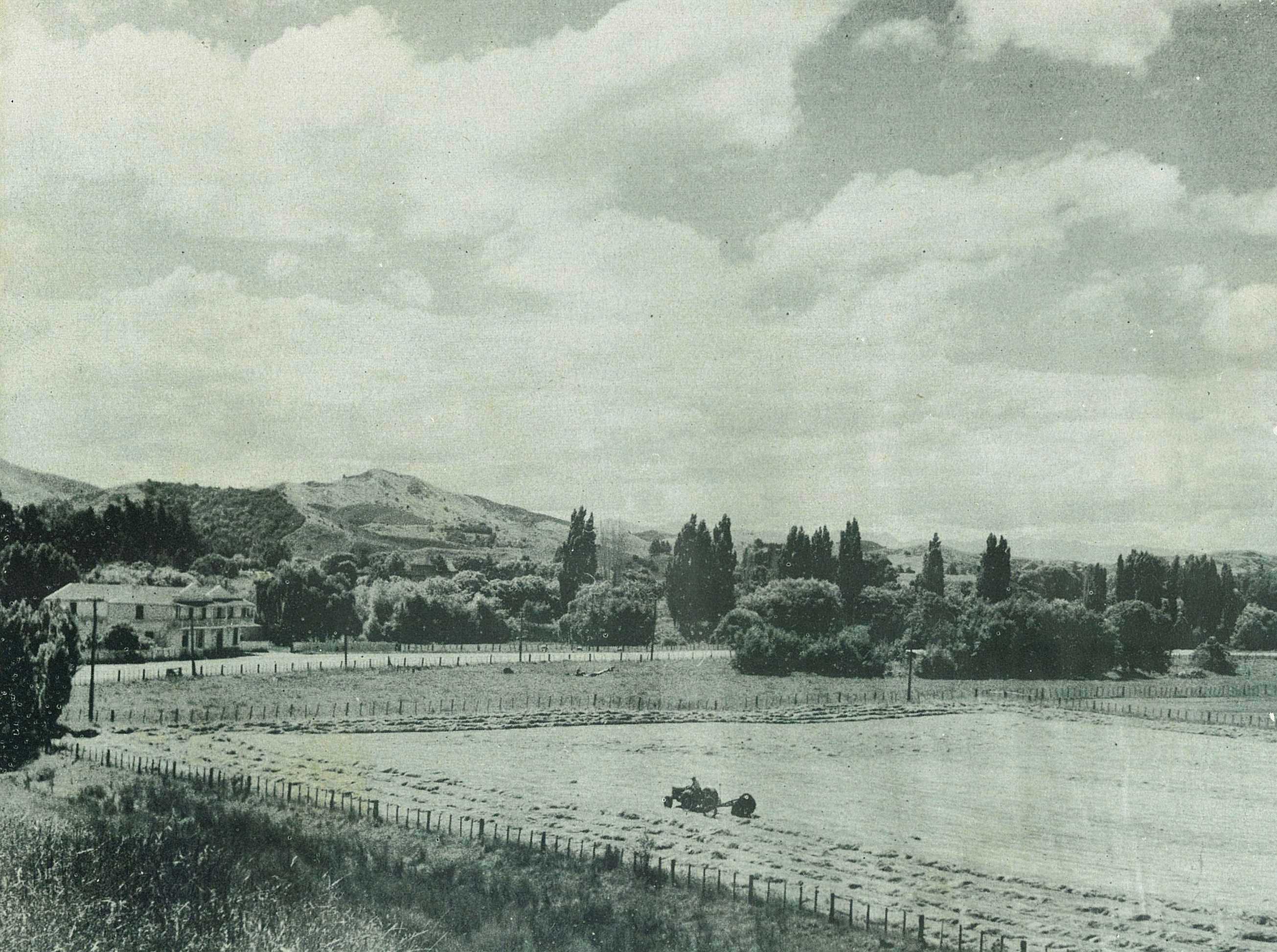
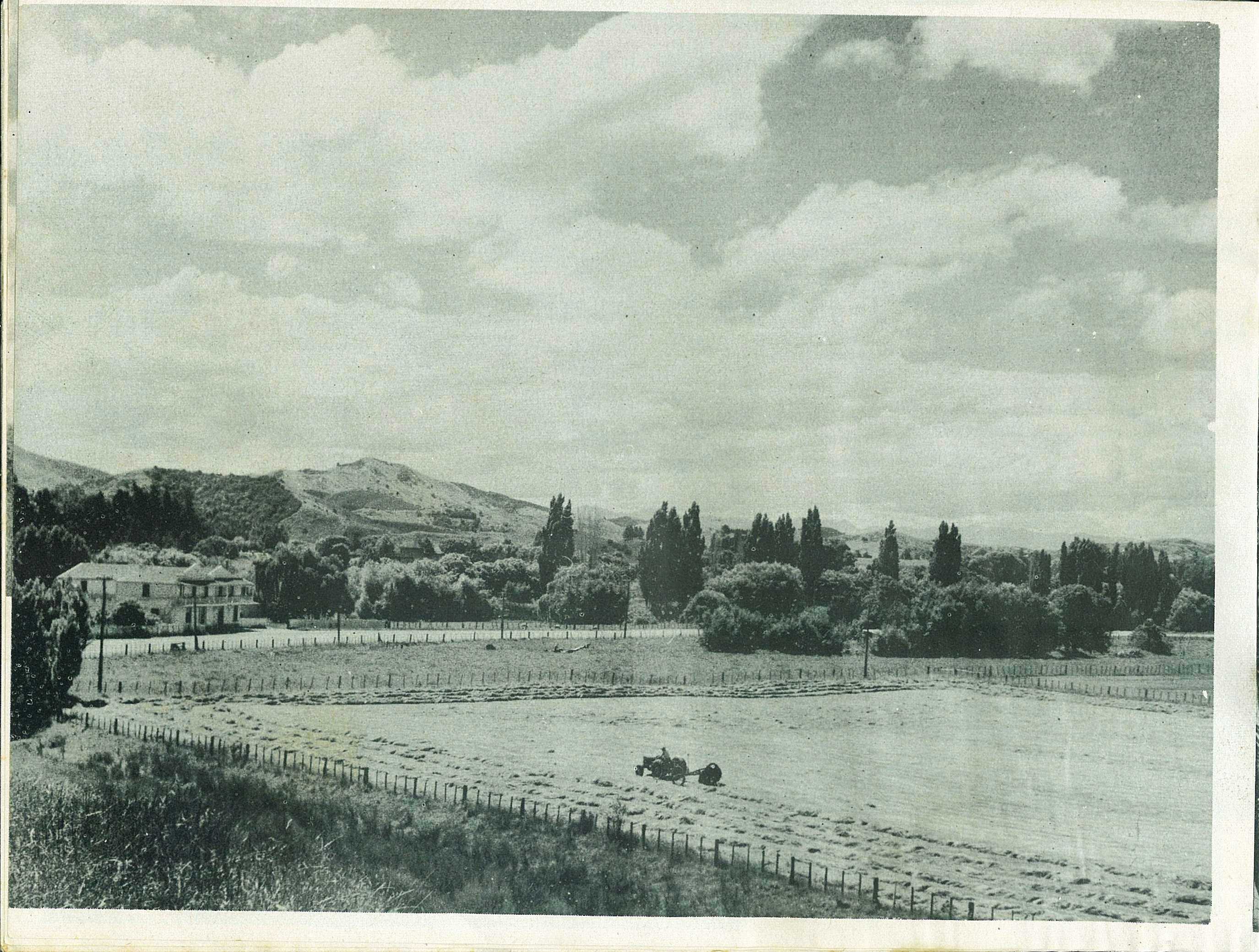
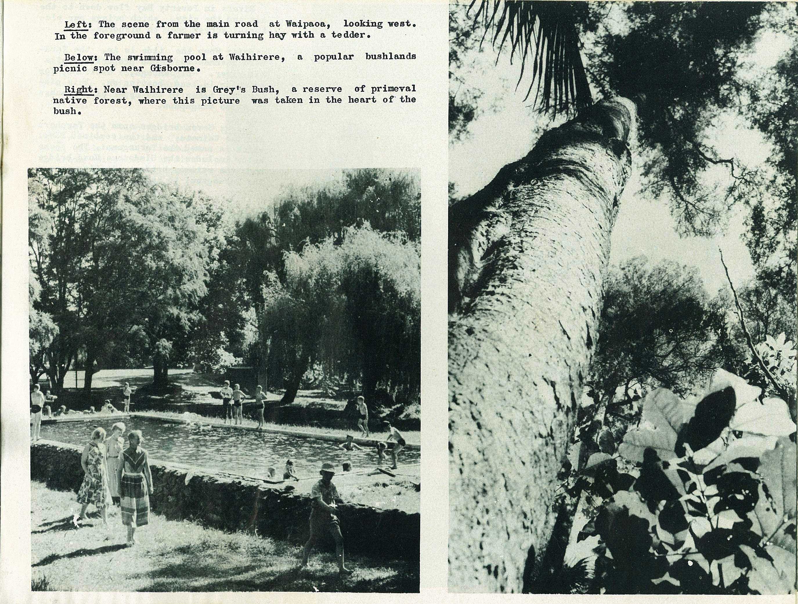
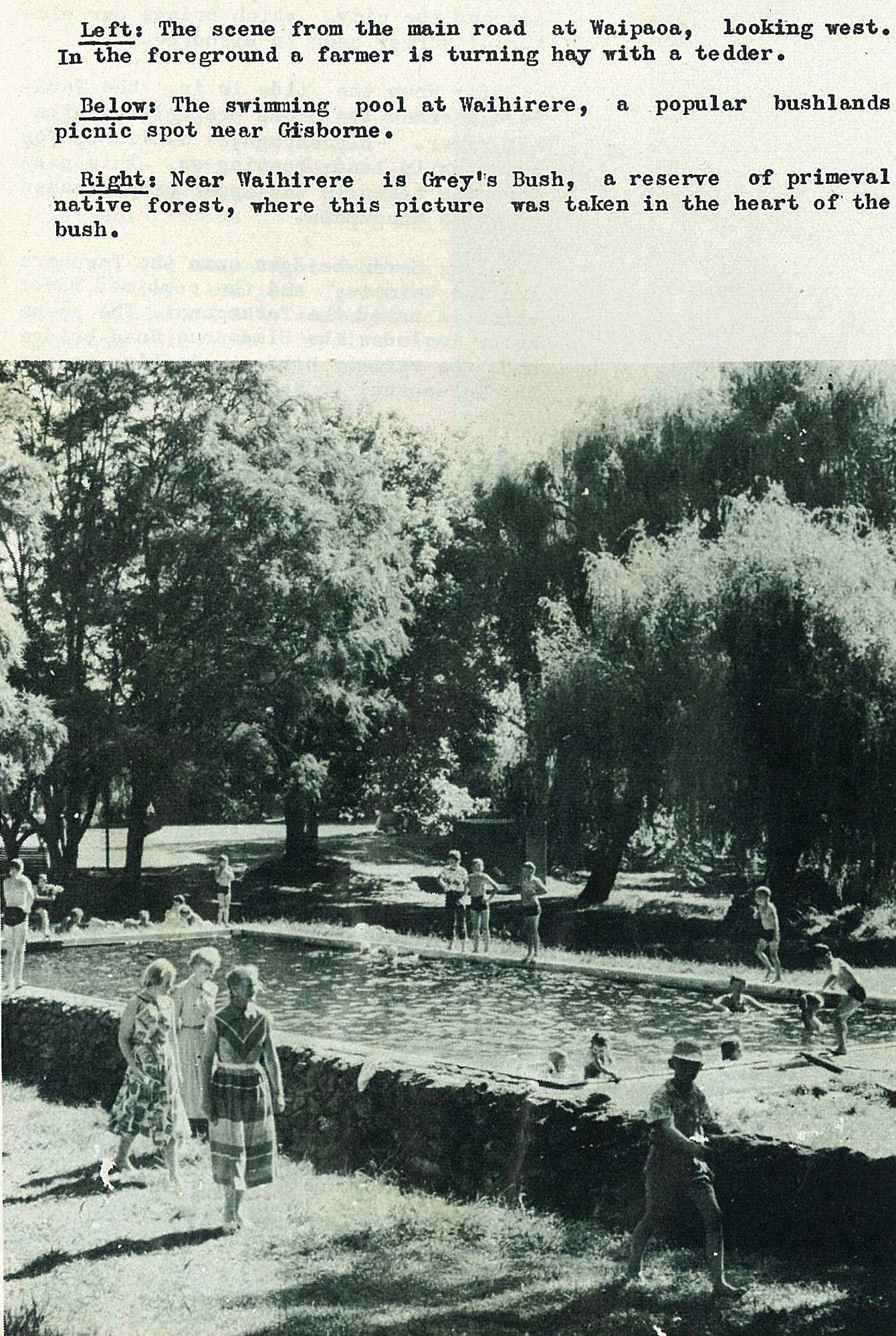
The scene from the main road at Waipaoa, looking west. In the foreground a farmer is turning hay with a tedder.
49

50
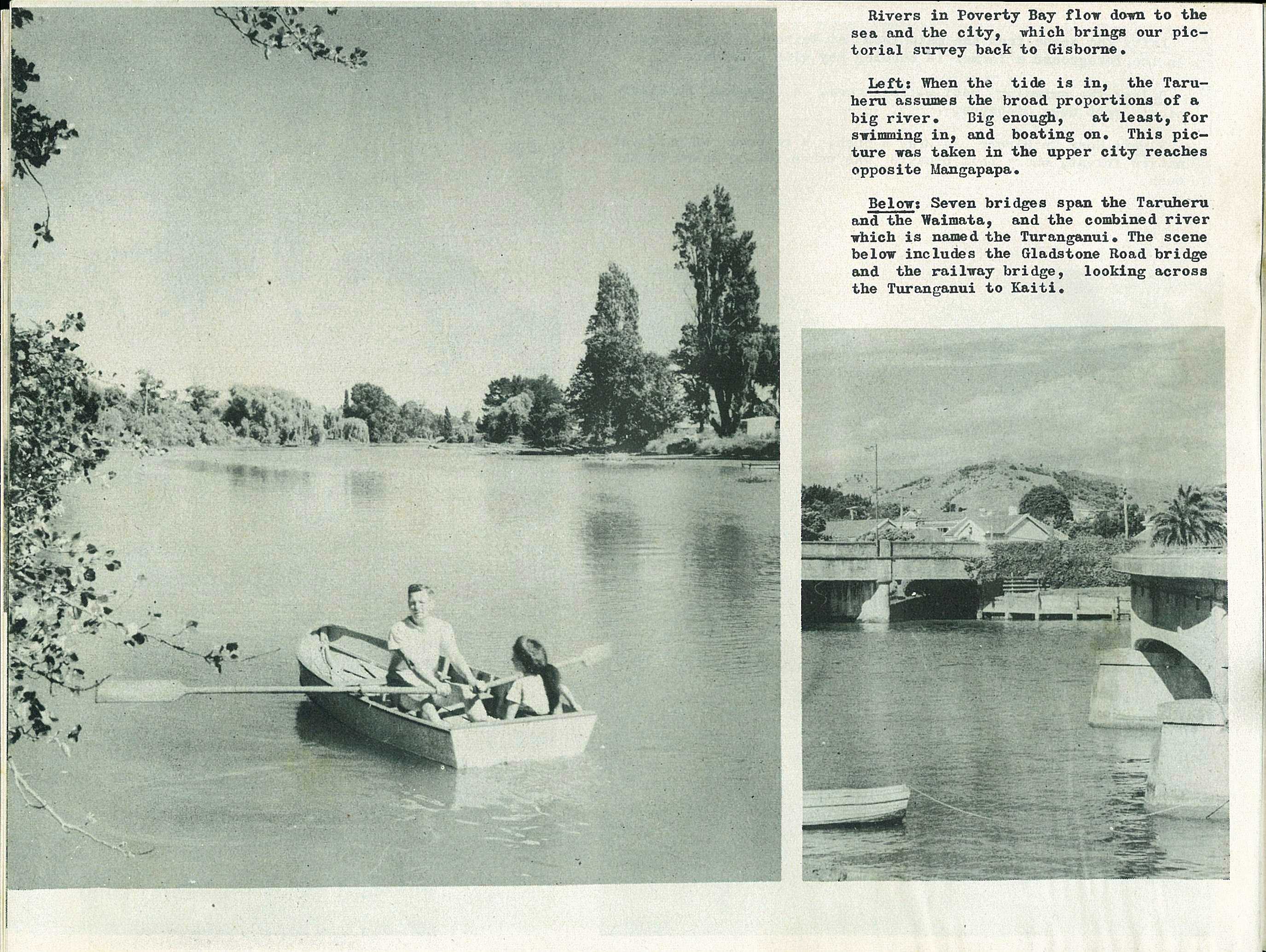
Rivers in Poverty Bay flow down to the sea and the city, which brings our pictorial survey back to Gisborne.
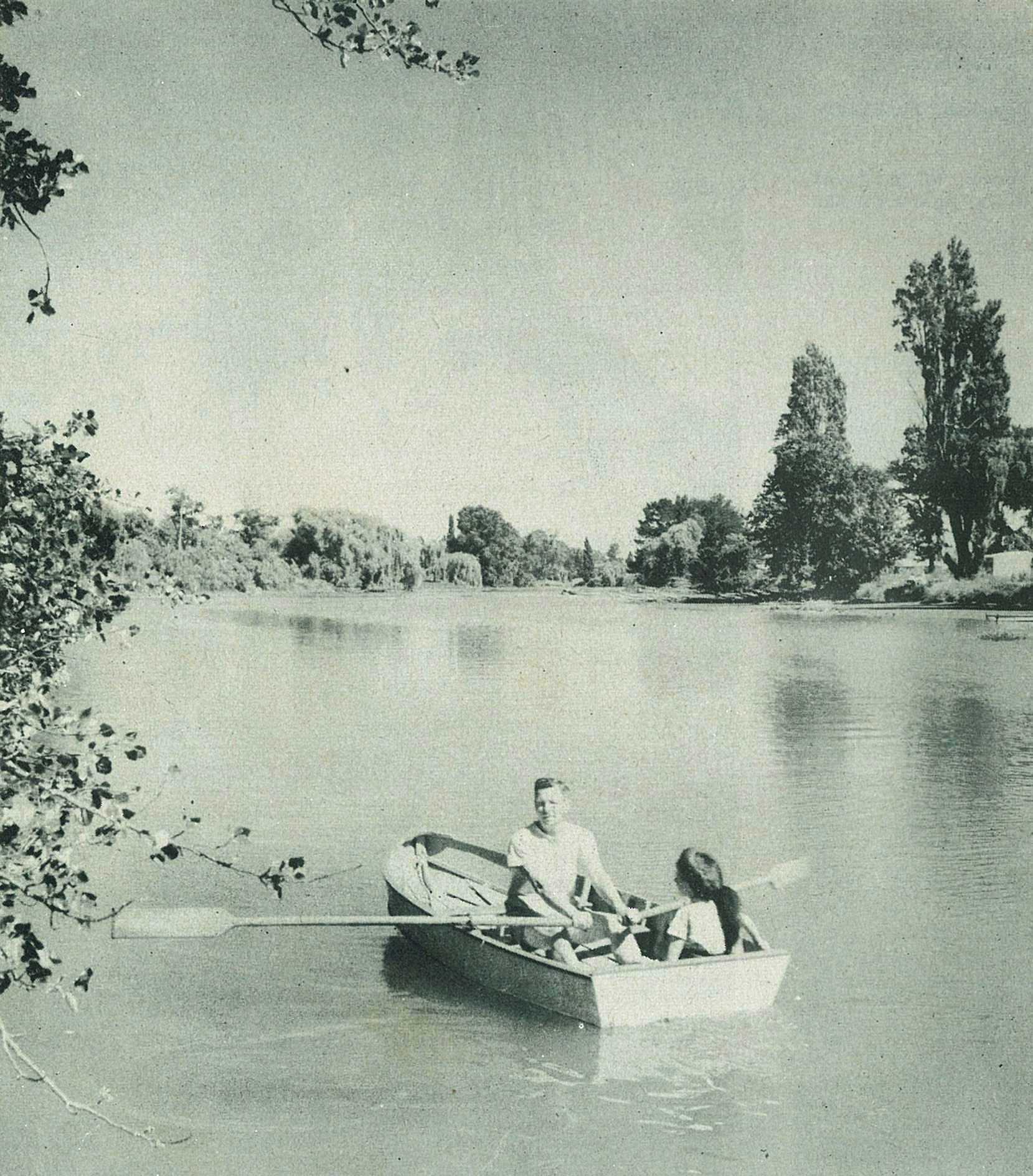
When the tide is in, the Taruheru assumes the broad proportions of a big river. Big enough, at least, for swimming in, and boating on. This picture was taken in the upper city reaches opposite Mangapapa.
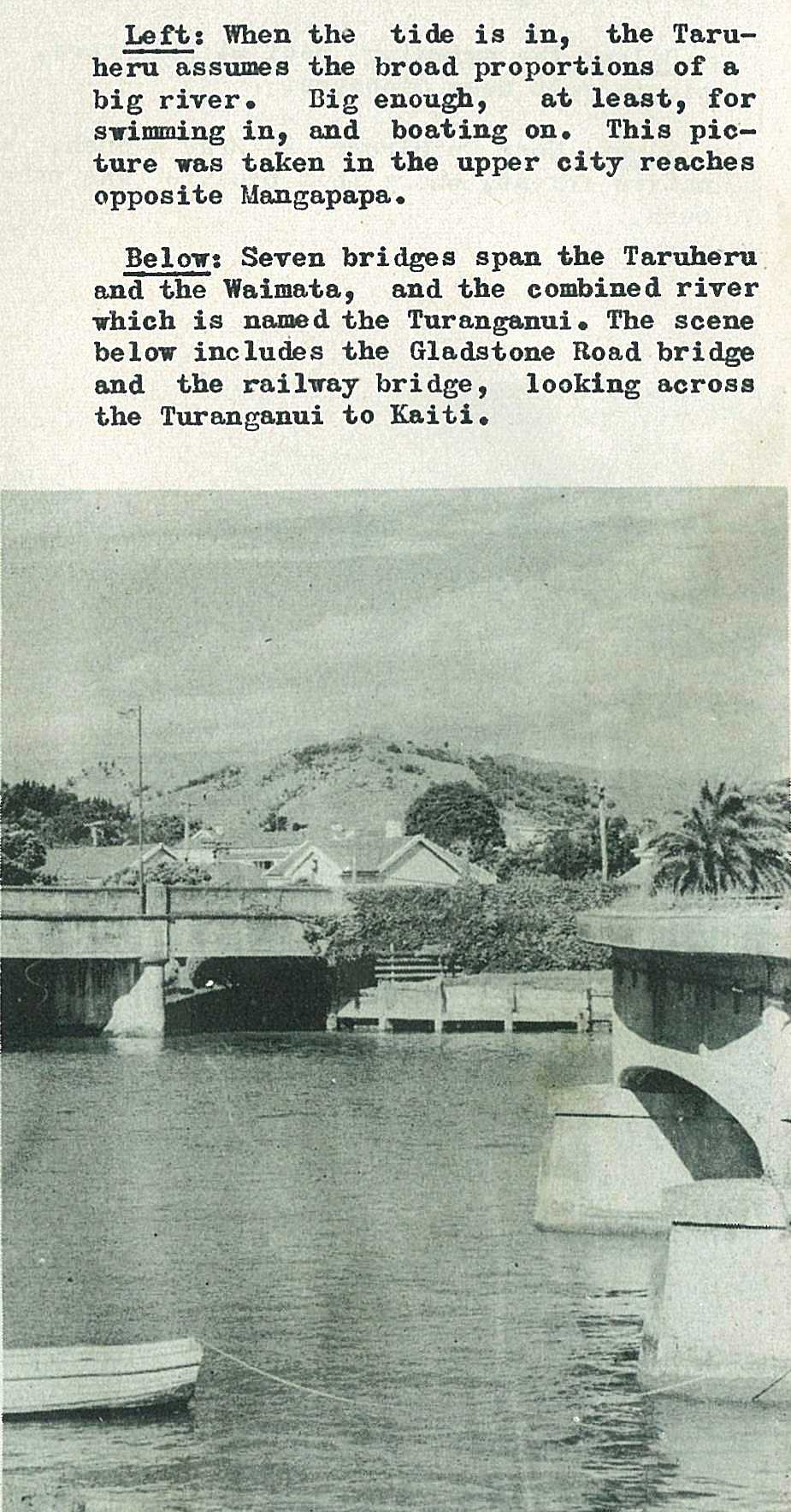
Seven bridges span the Taruheru and the Waimata, and the combined river which is named the Turanganui. The scene below includes the Gladstone Road bridge and the railway bridge, looking across the Turanganui to Kaiti.
51
52
53
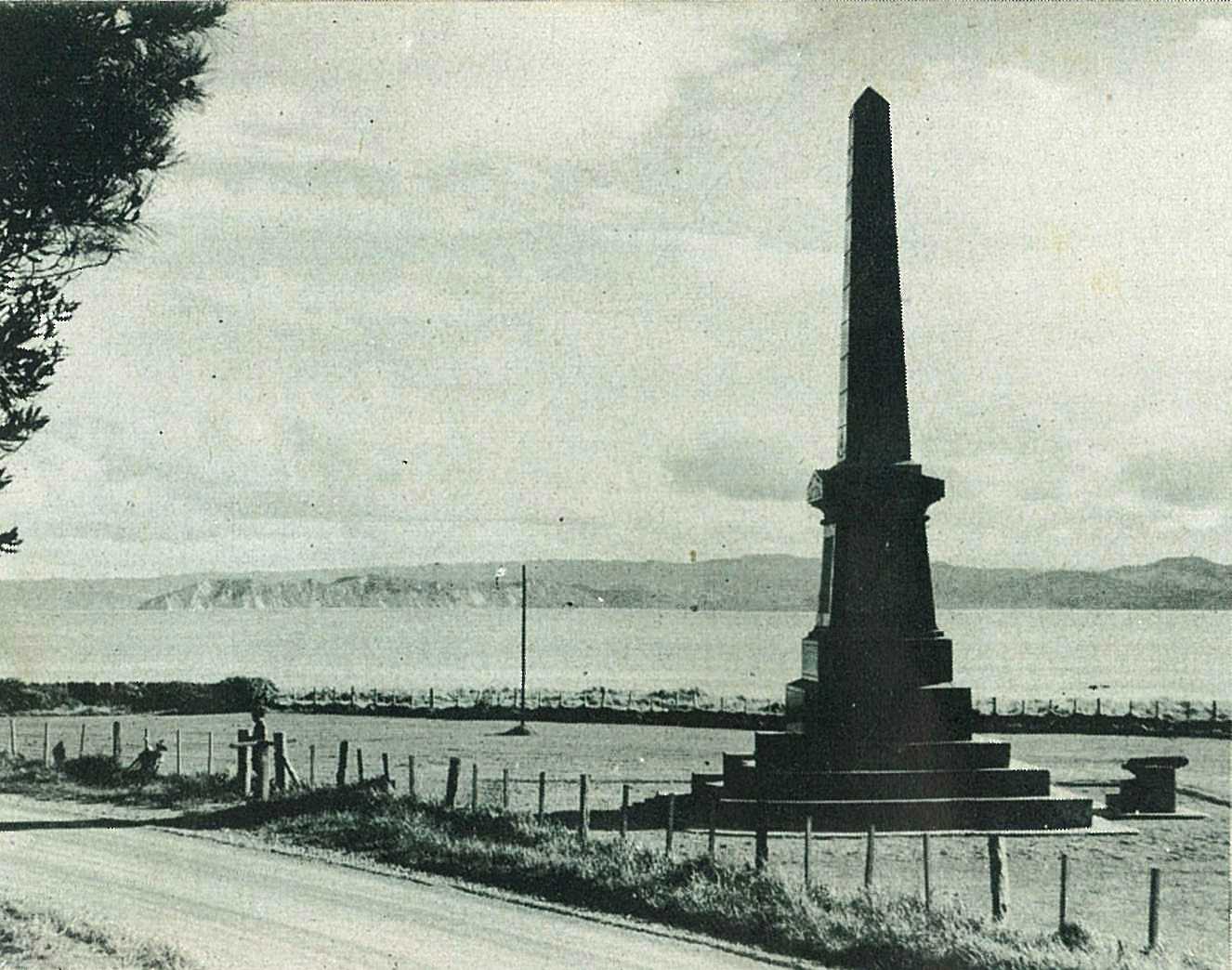
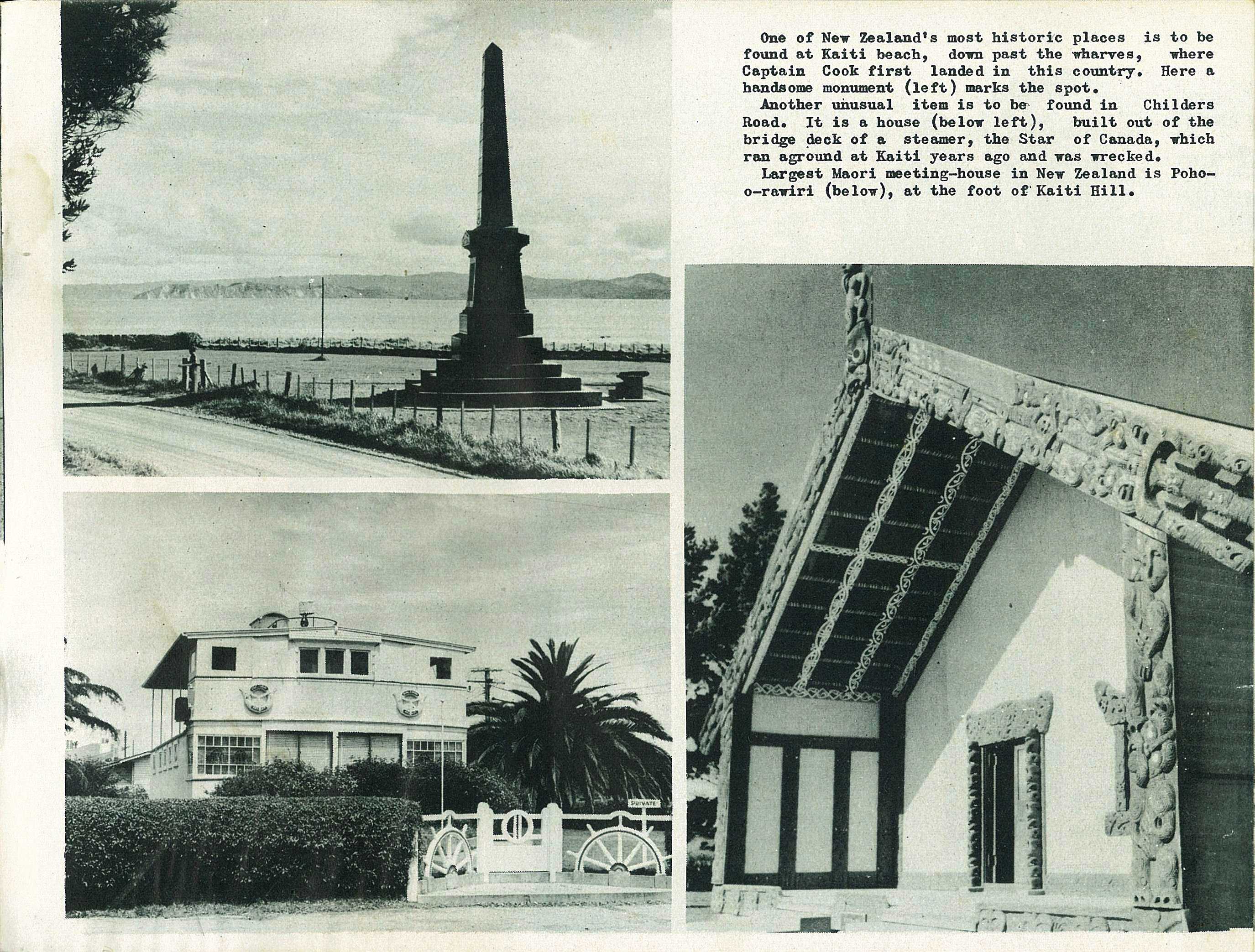
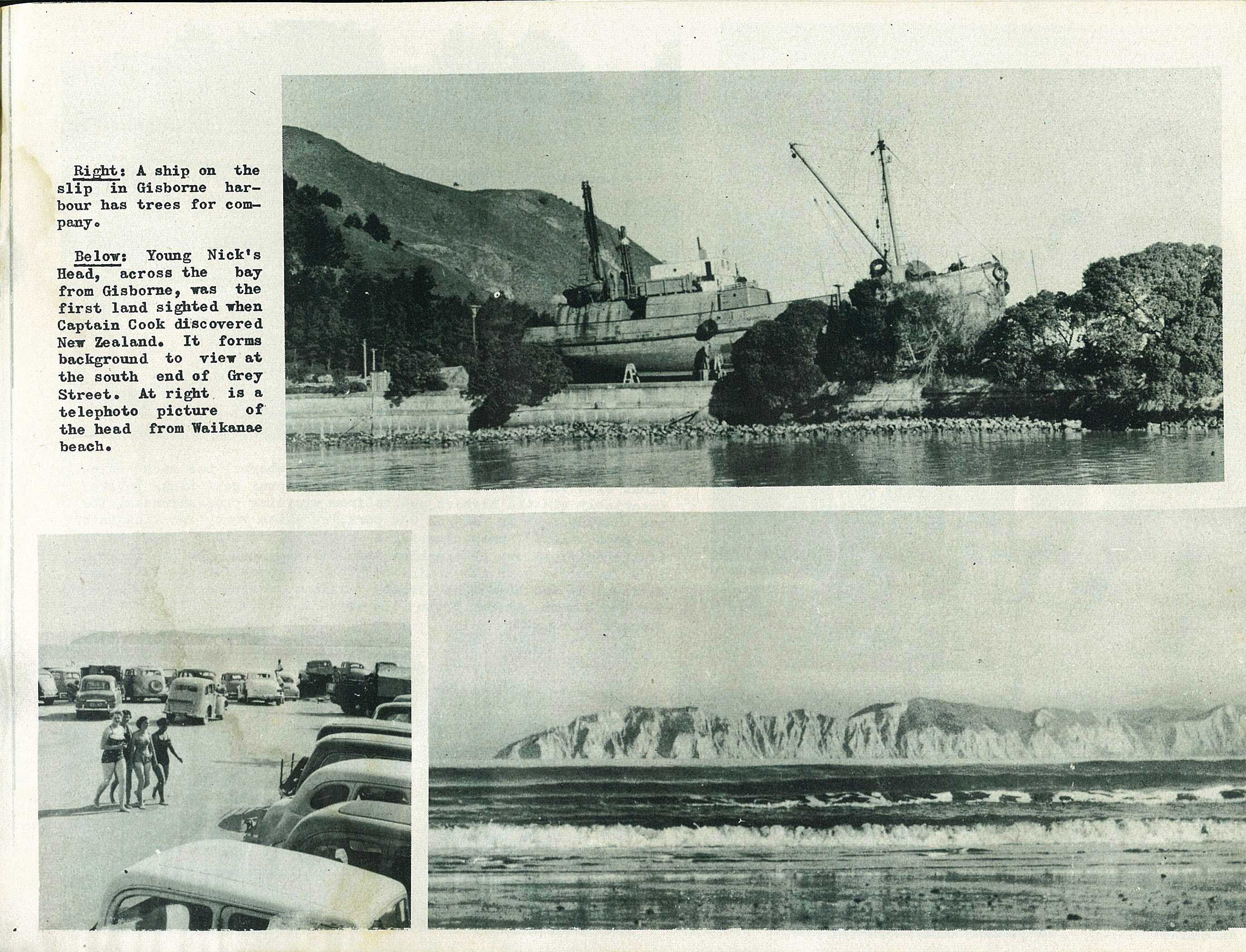
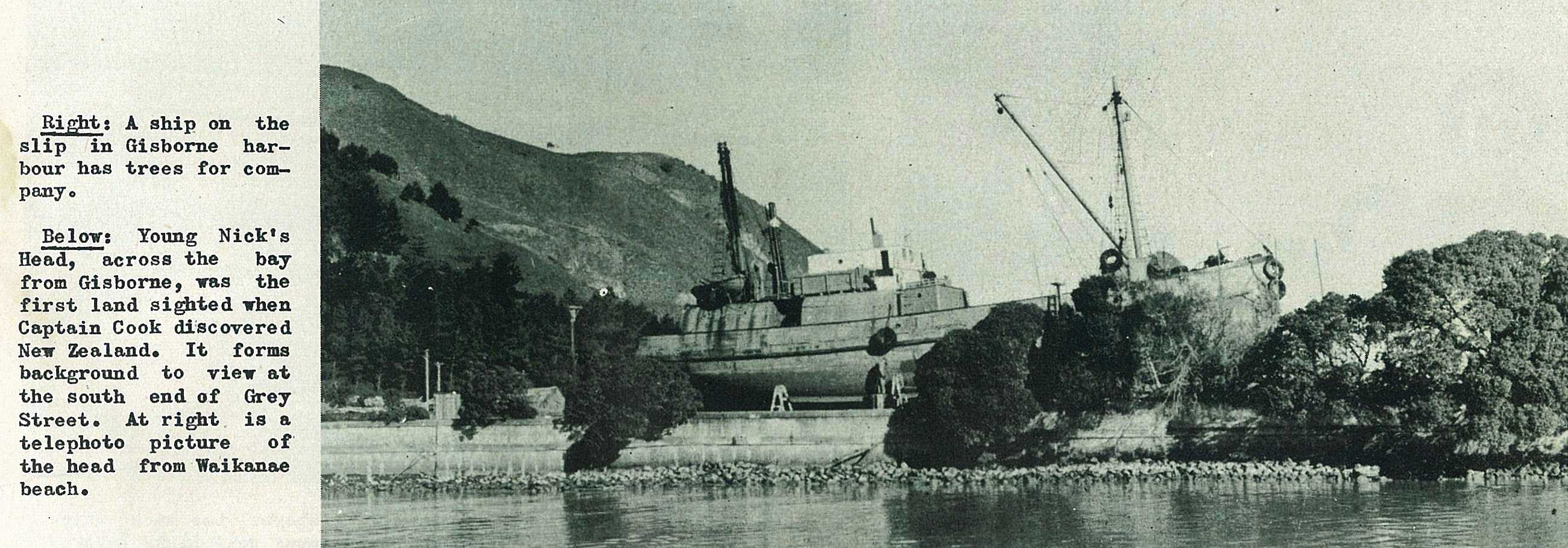
One of New Zealand's most historic places is to be found at Kaiti beach, down past the wharves, where Captain Cook first landed in this country. Here a handsome monument marks the spot.
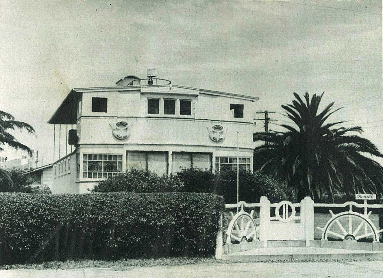
Another unusual item is to be found in Childers Road. It is a house, built out of the bridge deck of a steamer, the Star of Canada, which ran aground at Kaiti years ago and was wrecked.
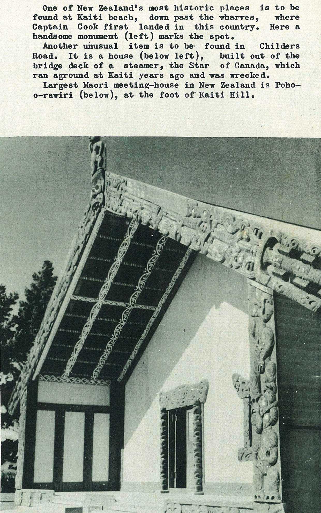
Largest Maori meeting-house in New Zealand is Poho-o-rawiri, at the foot of Kaiti Hill.
54
55
56
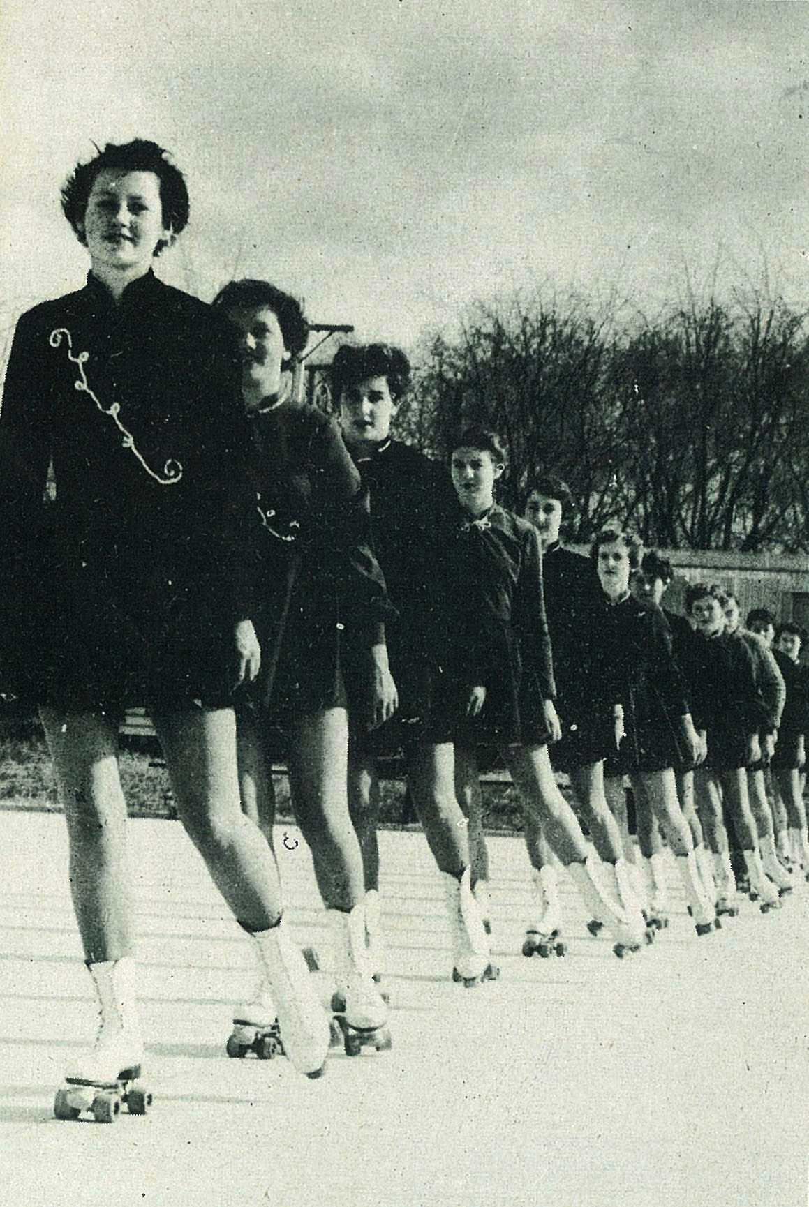
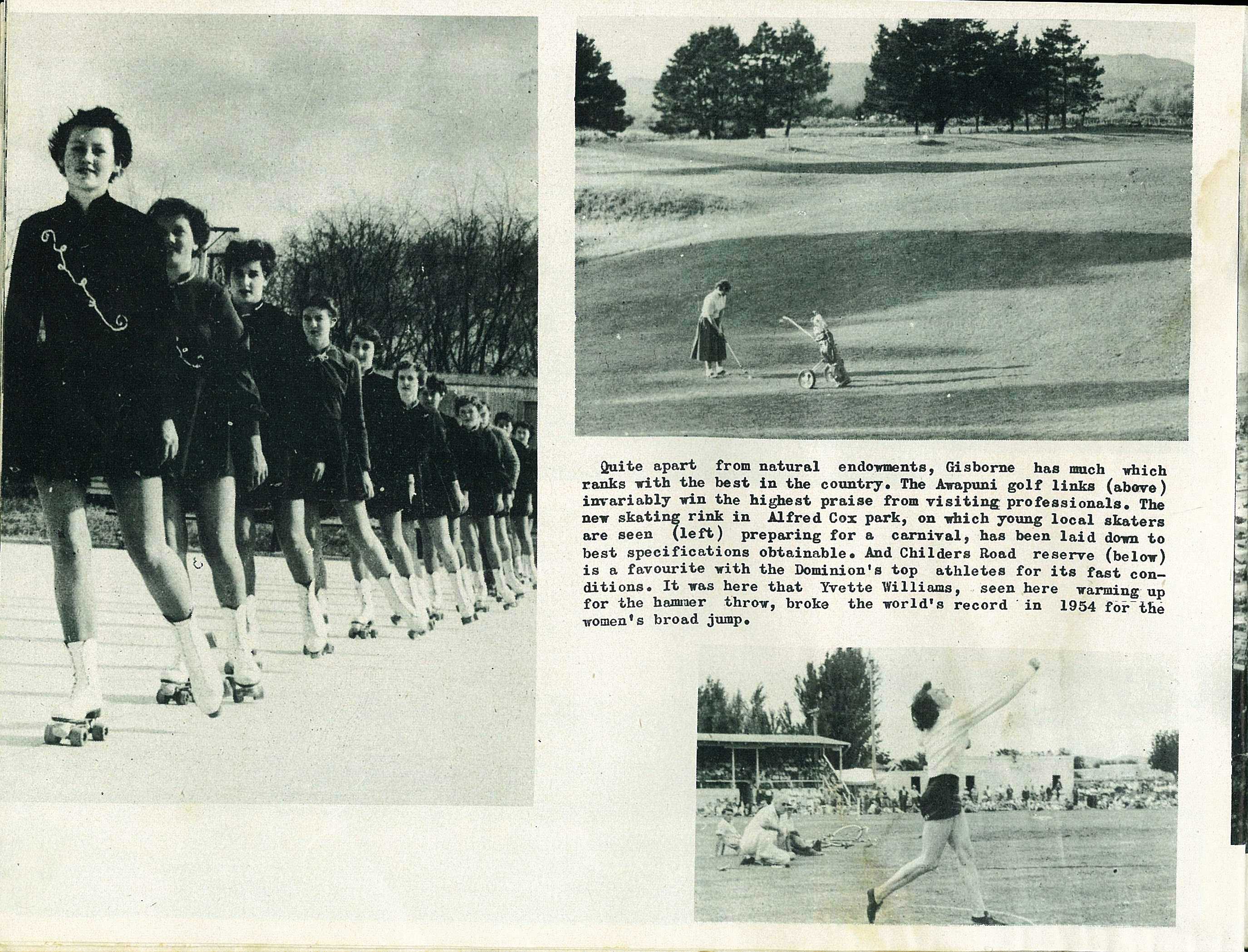
The new skating rink in Alfred Cox park, on which young local skaters are seen Preparing for a carnival, has been laid down to best specifications obtainable.
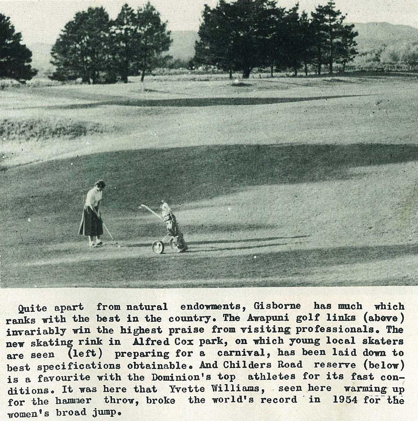
Quite apart from natural endowments, Gisborne has much which ranks with the best in the country. The Awapuni golf links invariably win the highest praise from visiting professionals.

And Childers Road reserve is a favourite with the Dominion's top athletes for its fast conditions. It was here that Yvette Williams, seen here warming up for the hammer throw, broke the world's record in 1954 for the women's broad jump.
57
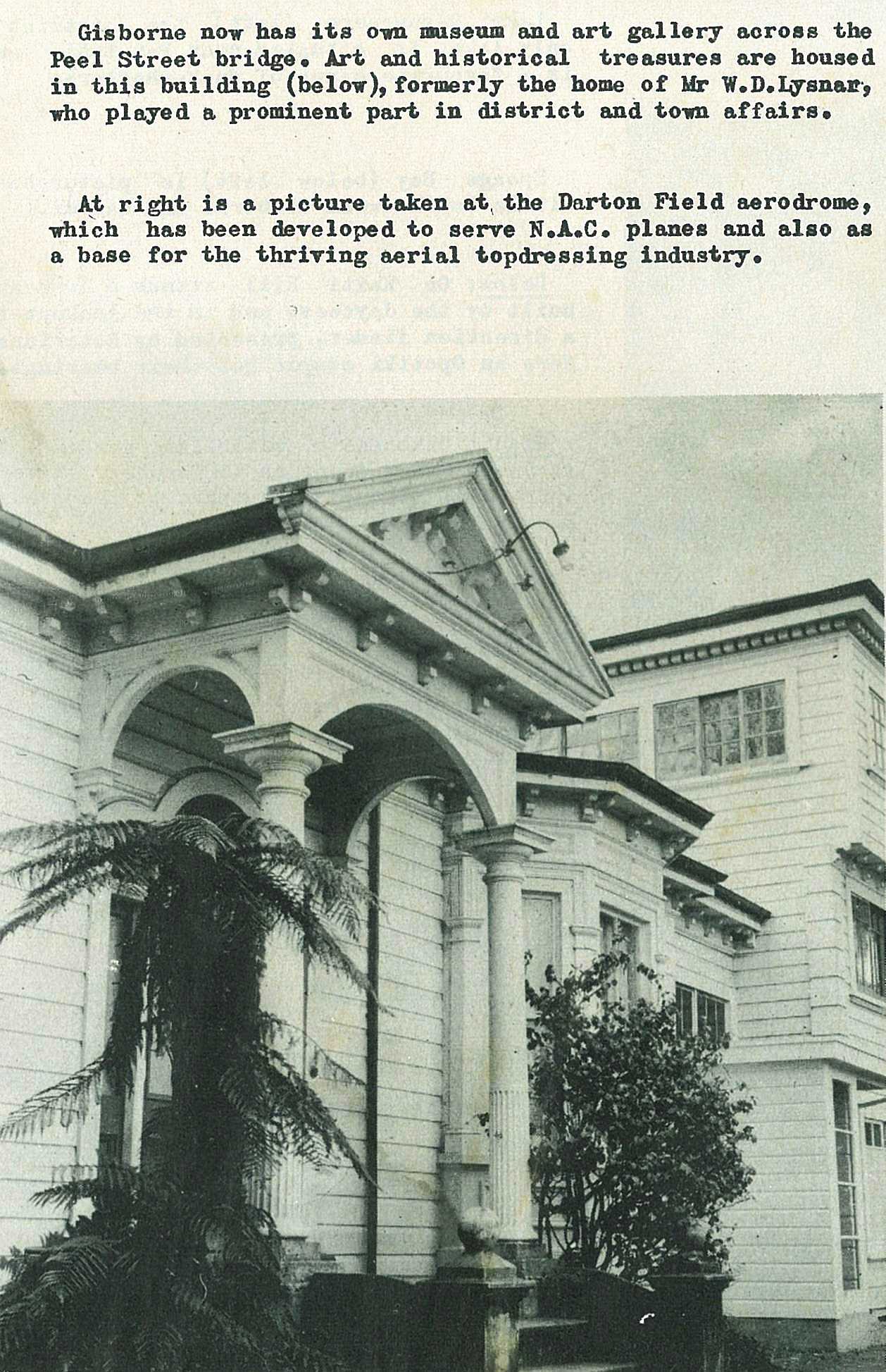
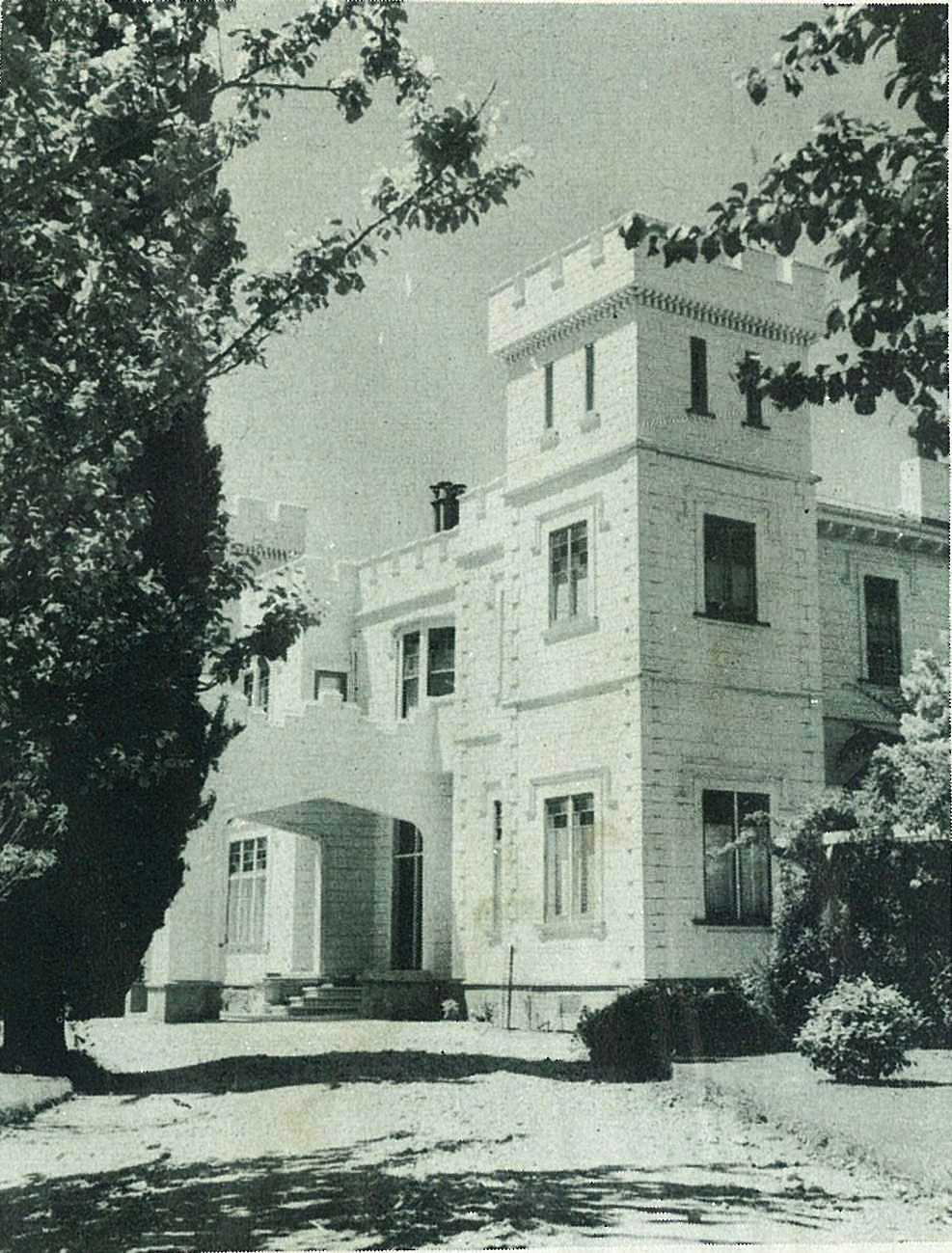
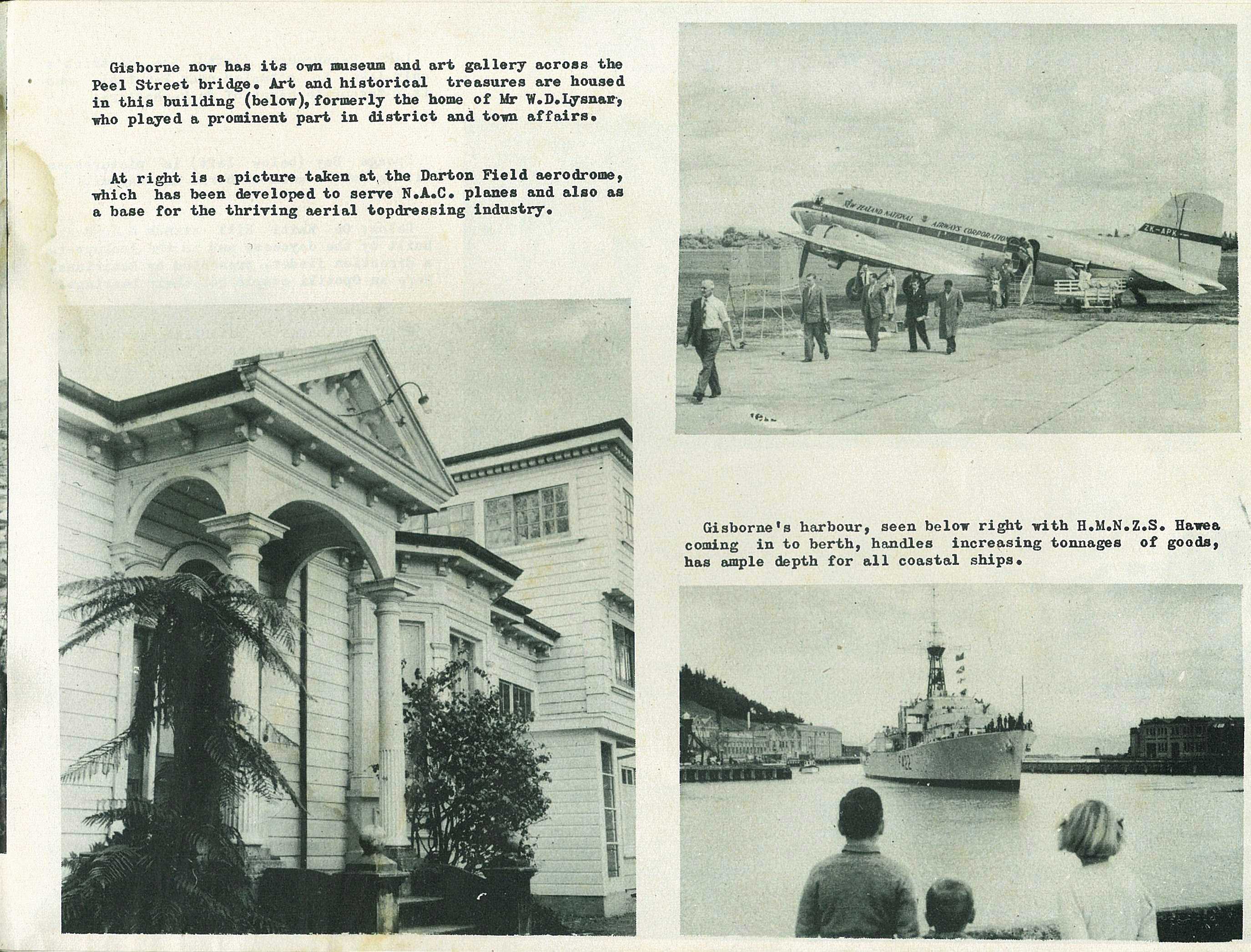
Art and historical treasures are housed in this building, formerly the home of Mr W. D. Lysnar, who played a prominent part in district and town affairs.
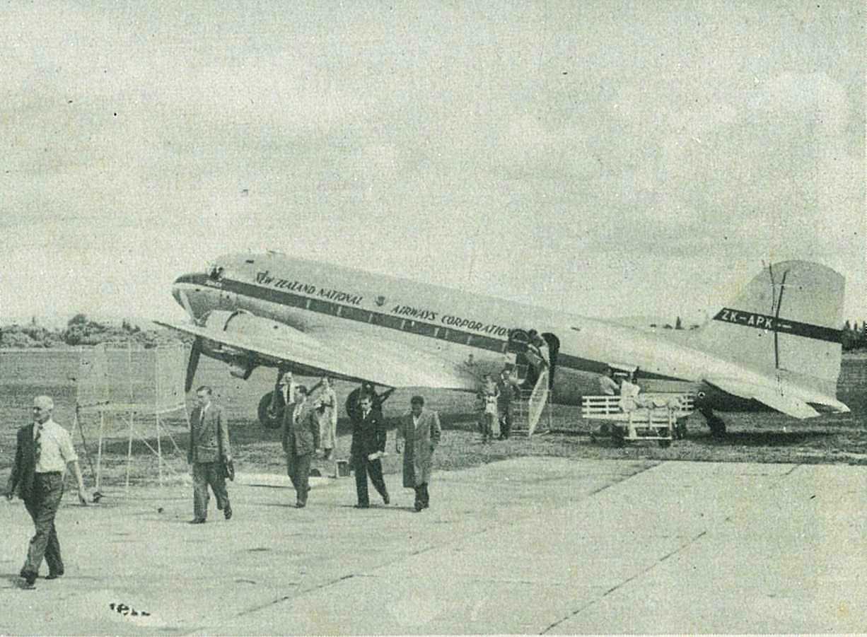
A picture taken at the Darton Field aerodrome, which has been developed to serve N.A.C. planes and also as a base for the thriving aerial topdressing industry.

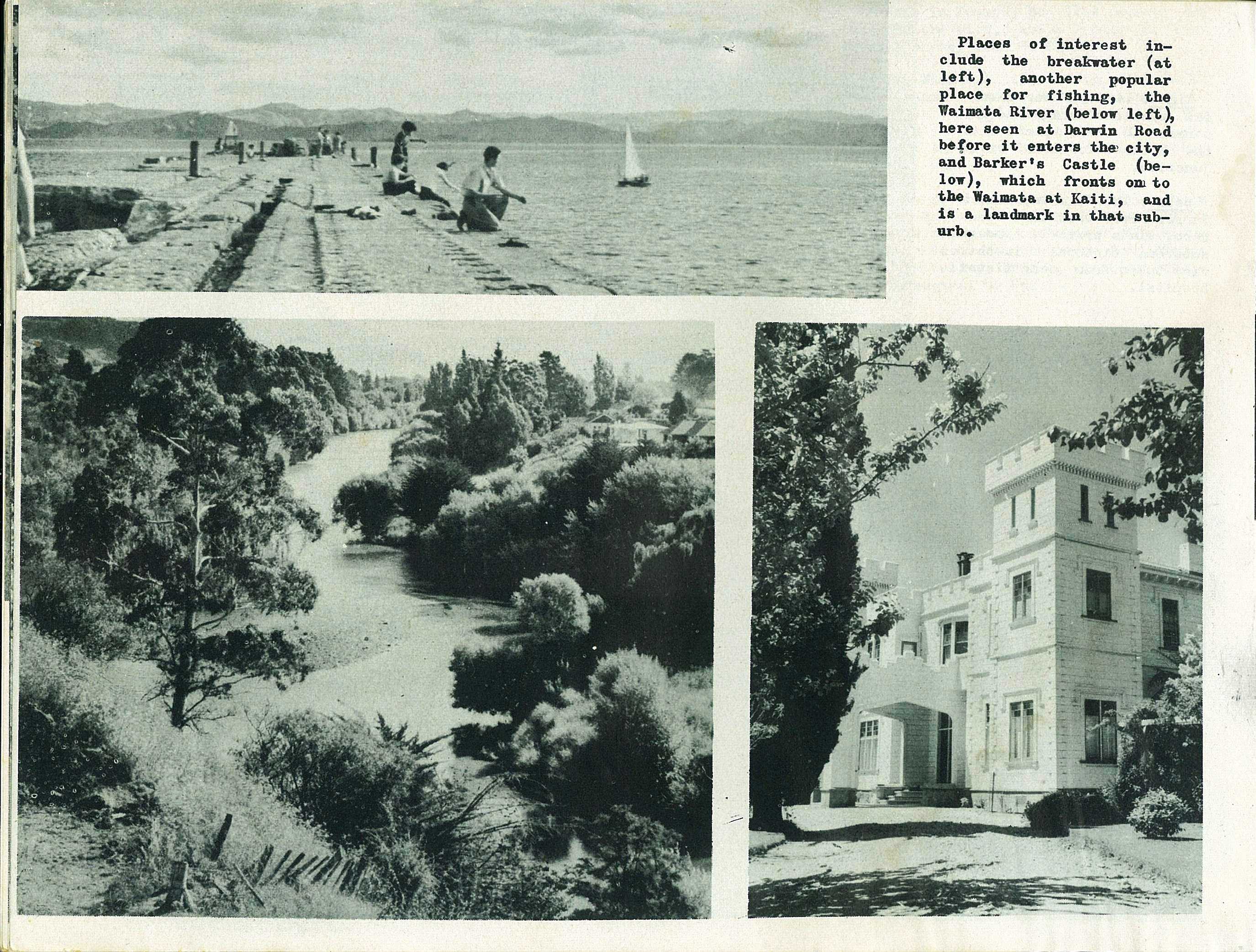
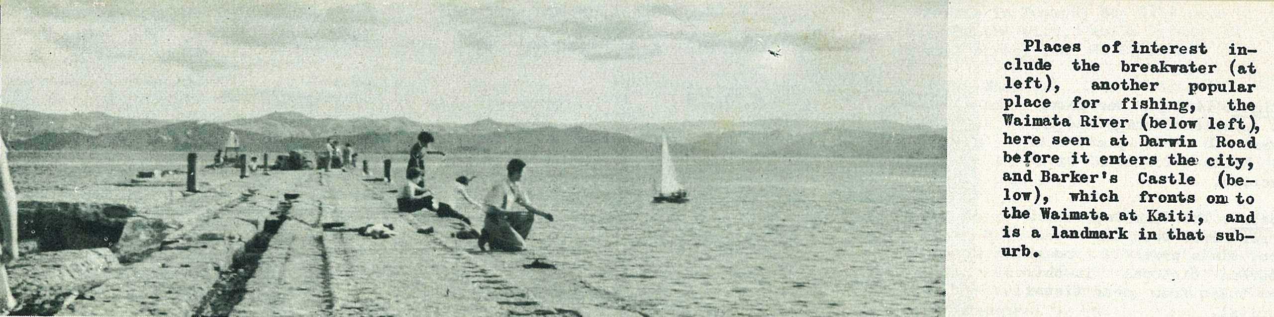
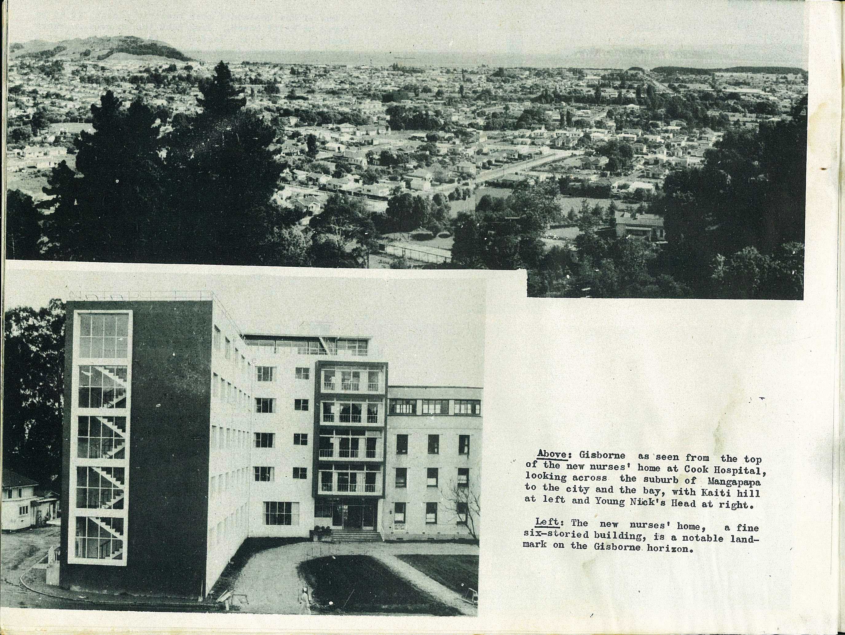
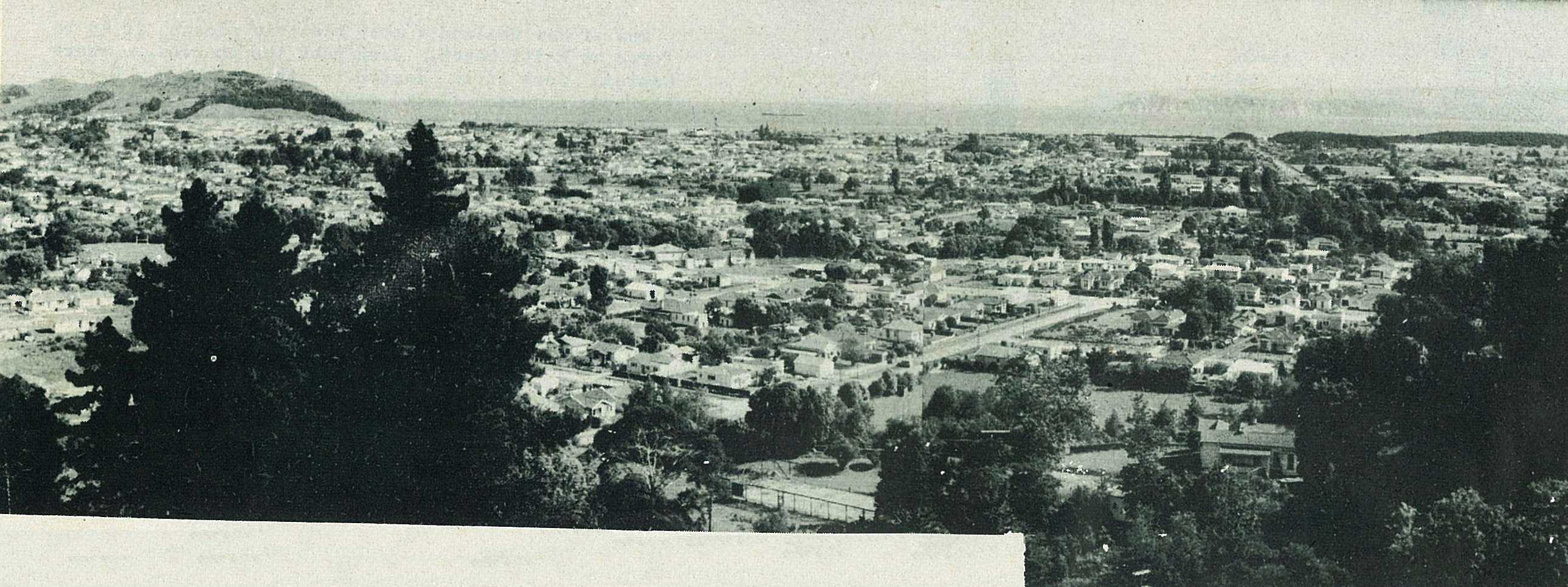
Gisborne's harbour, seen below right with H.M.N.Z.S. Hawea coming in to berth, handles increasing tonnages of goods, has ample depth for all coastal ships.
58
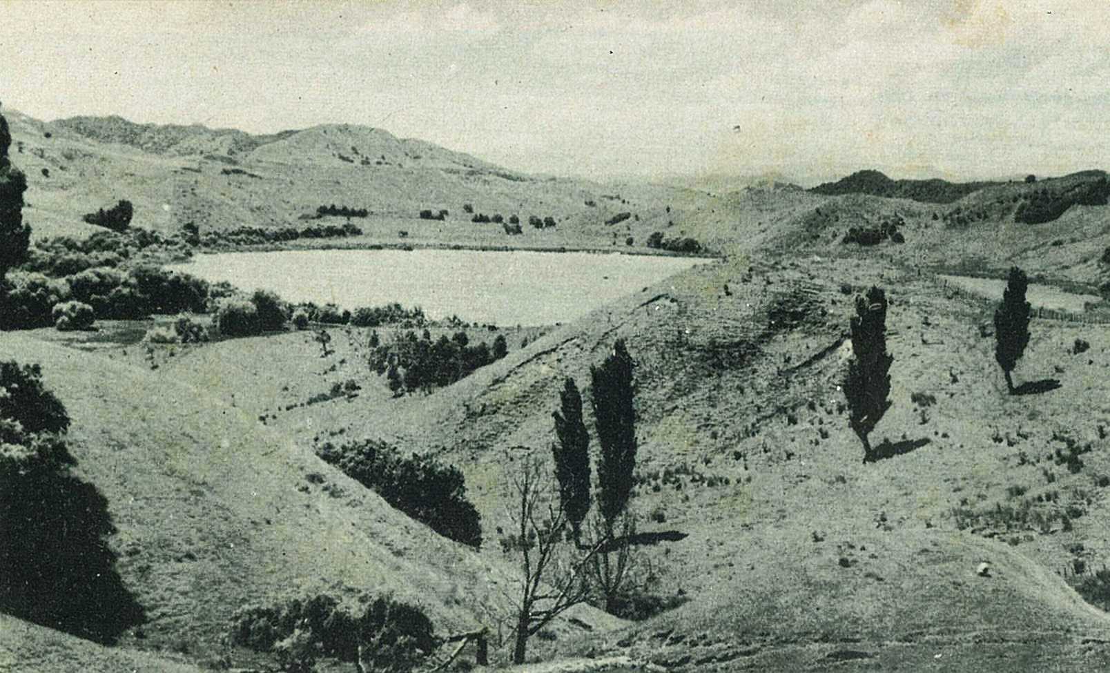
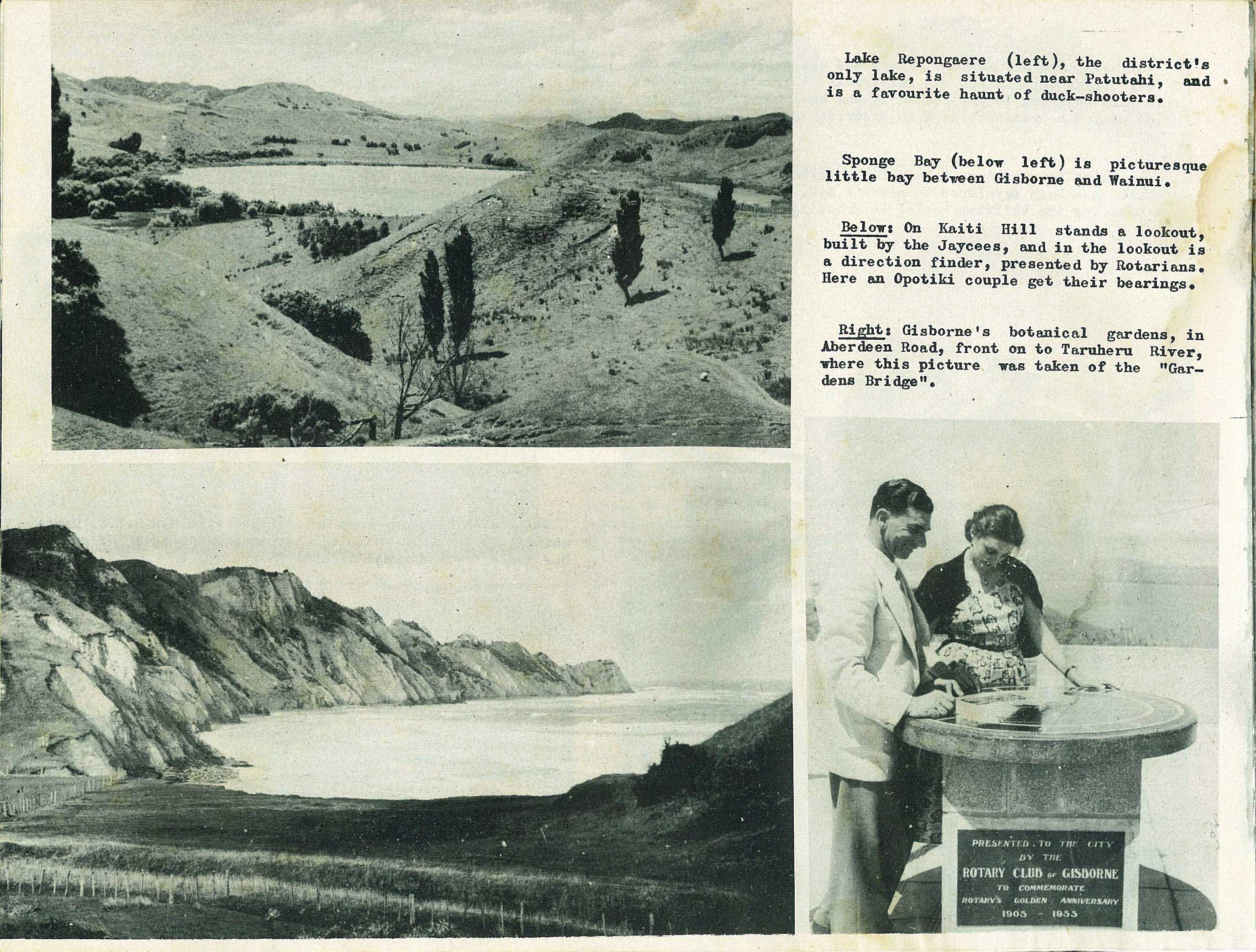
Lake Repongaere, the district's only lake, is situated near Patutahi, and is a favourite haunt of duck-shooters.
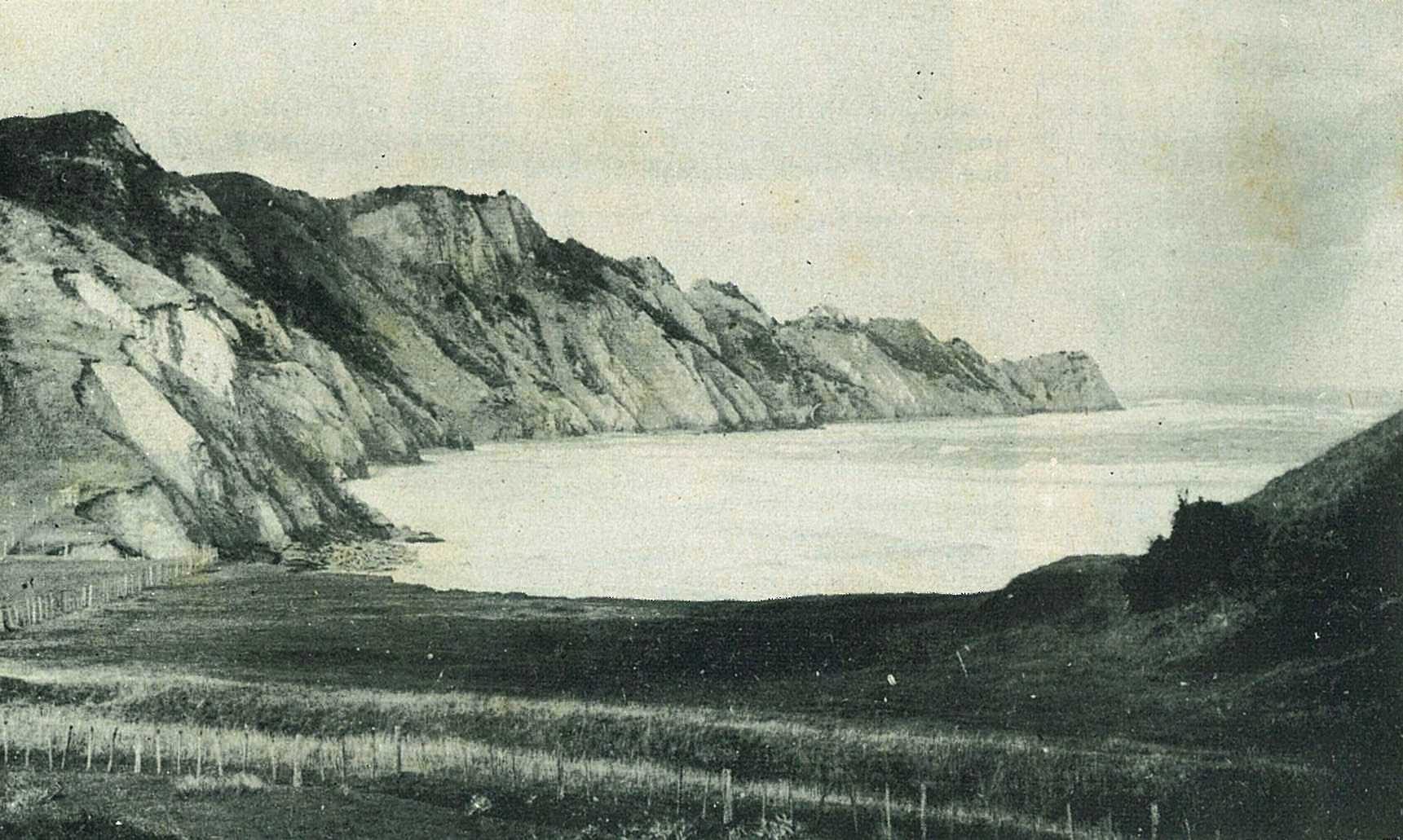
Sponge Bay is picturesque little bay between Gisborne and Wainui.
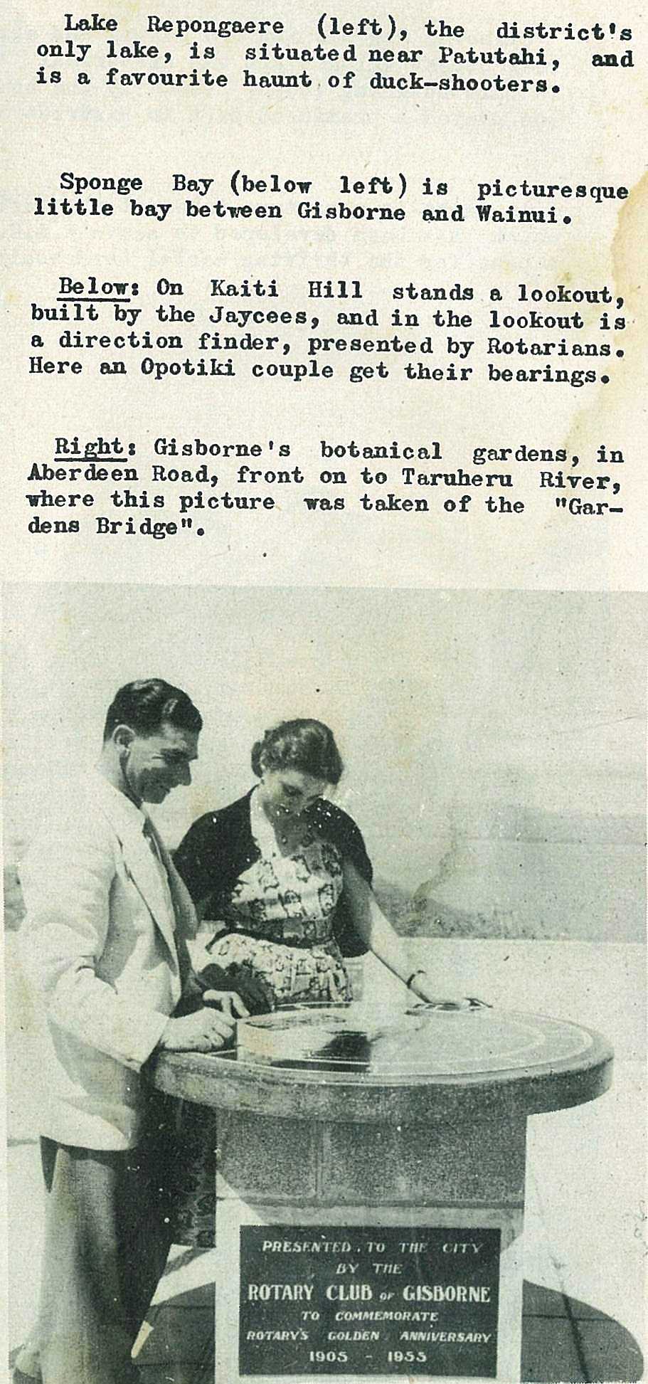
On Kaiti Hill stands a lookout, built by the Jaycees, and in the lookout is a direction finder, presented by Rotarians. Here an Opotiki couple get their bearings.
59
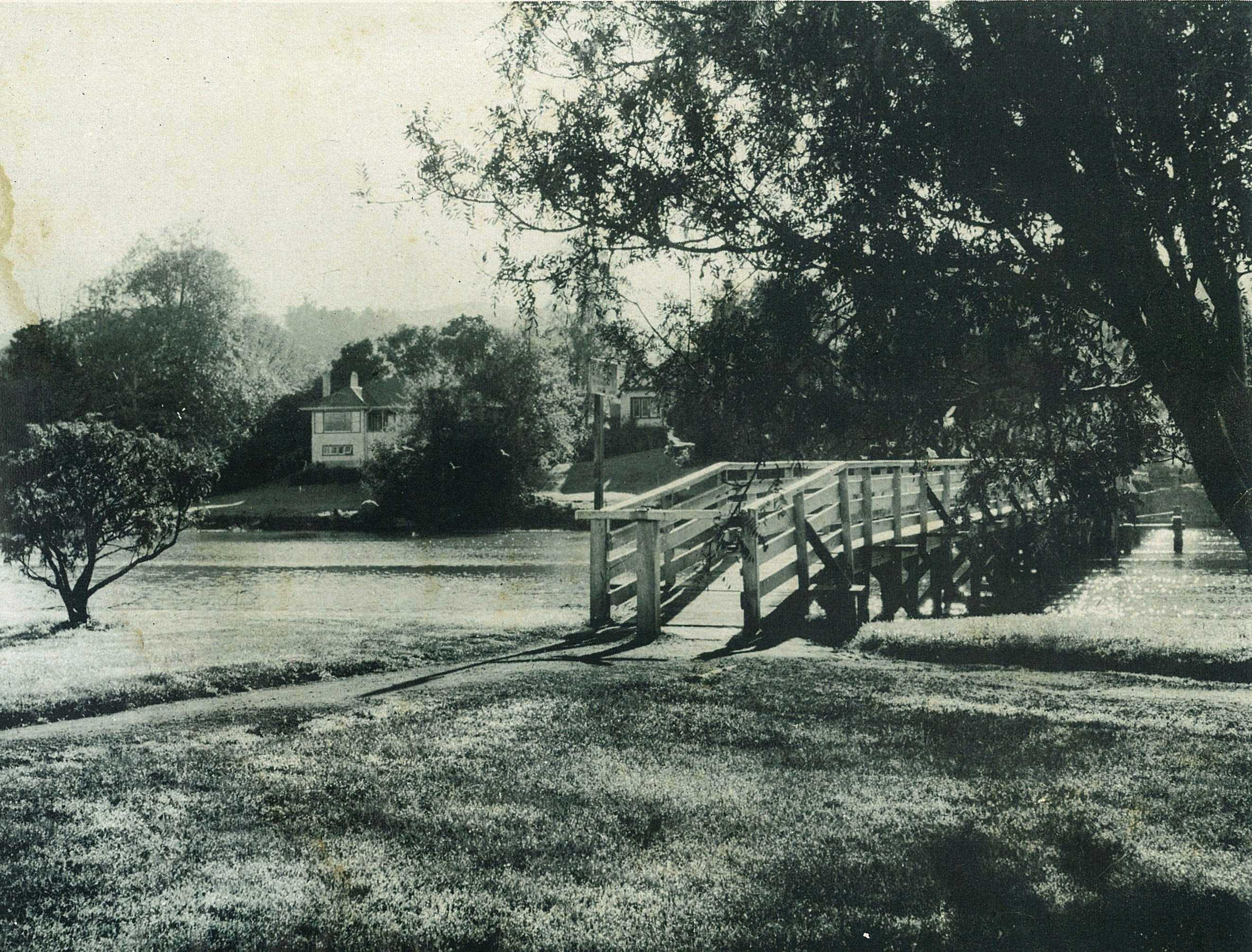
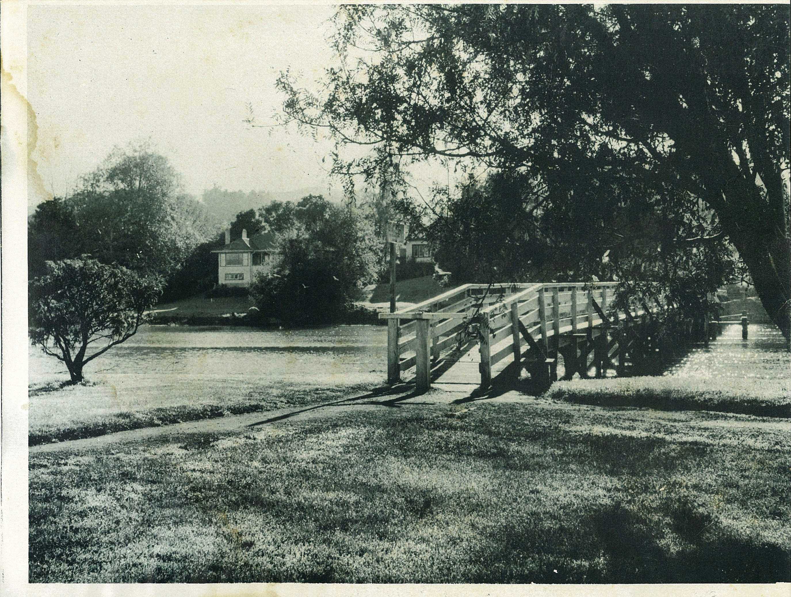
Gisborne's botanical gardens, in Aberdeen Road, front on to Taruheru River, where this picture was taken of the "Gardens Bridge".
60
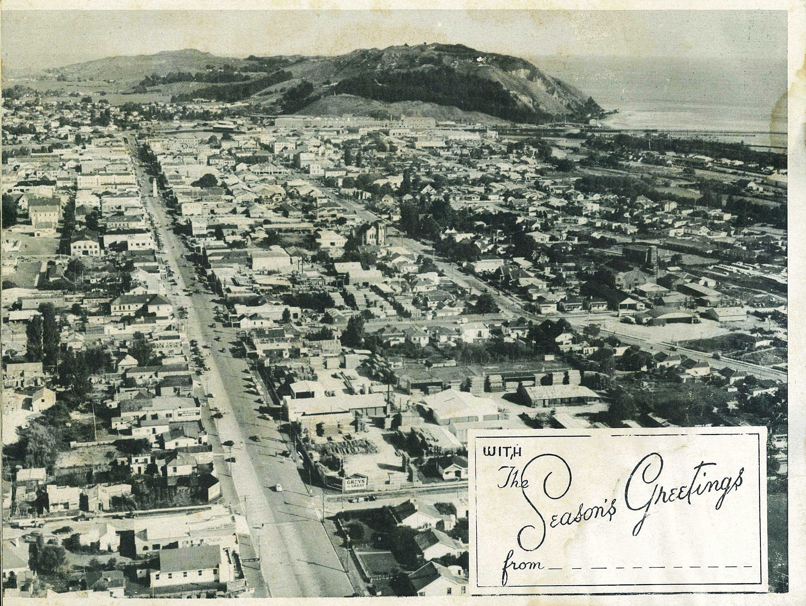
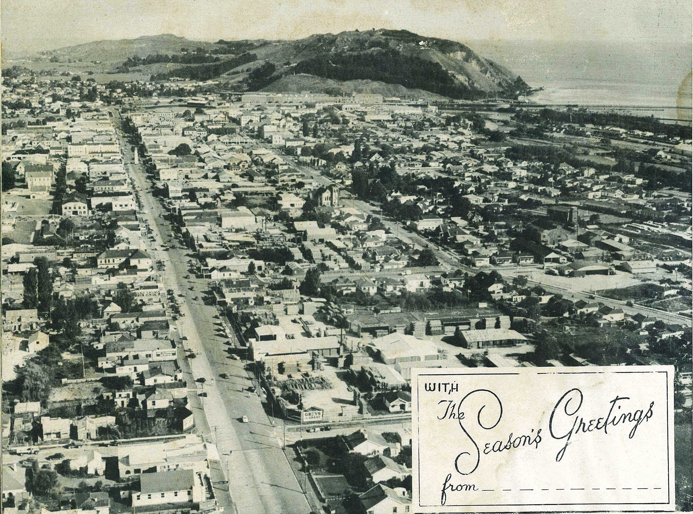
With The Seasons Greetings From_ _ _ _ _ _ _ _ _ _ _

; void 0)
; void 0)
; void 0)
; void 0)
; void 0)
; void 0)
; void 0)
; void 0)
; void 0)
; void 0)
; void 0)
; void 0)
; void 0)
; void 0)
; void 0)
; void 0)
; void 0)
; void 0)
; void 0)
; void 0)
; void 0)
; void 0)
; void 0)
; void 0)
; void 0)
; void 0)
; void 0)
; void 0)
; void 0)
; void 0)
; void 0)
; void 0)
; void 0)
; void 0)
; void 0)
; void 0)
; void 0)
; void 0)
; void 0)
; void 0)
; void 0)
; void 0)
; void 0)
; void 0)
; void 0)
; void 0)
; void 0)
; void 0)
; void 0)
; void 0)
; void 0)
; void 0)
; void 0)
; void 0)
; void 0)
; void 0)
; void 0)
; void 0)
; void 0)
; void 0)
; void 0)
; void 0)
; void 0)
; void 0)
; void 0)
; void 0)
; void 0)
; void 0)
; void 0)
; void 0)
; void 0)
; void 0)
; void 0)
; void 0)
; void 0)
; void 0)
; void 0)
; void 0)
; void 0)
; void 0)
; void 0)
; void 0)
; void 0)
; void 0)
; void 0)
; void 0)
; void 0)
; void 0)
; void 0)
; void 0)
; void 0)
; void 0)
; void 0)
; void 0)
; void 0)
; void 0)
; void 0)
; void 0)
; void 0)
; void 0)
; void 0)
; void 0)
; void 0)
; void 0)
; void 0)
; void 0)
; void 0)
; void 0)
; void 0)
; void 0)
; void 0)
; void 0)
; void 0)
; void 0)
; void 0)
; void 0)
; void 0)
; void 0)
; void 0)
; void 0)
; void 0)
; void 0)
; void 0)
; void 0)
; void 0)
; void 0)
; void 0)
; void 0)
; void 0)
; void 0)
; void 0)
; void 0)
; void 0)
; void 0)
; void 0)
; void 0)
; void 0)
; void 0)
; void 0)
; void 0)
; void 0)
; void 0)
; void 0)
; void 0)
; void 0)
; void 0)
; void 0)