3
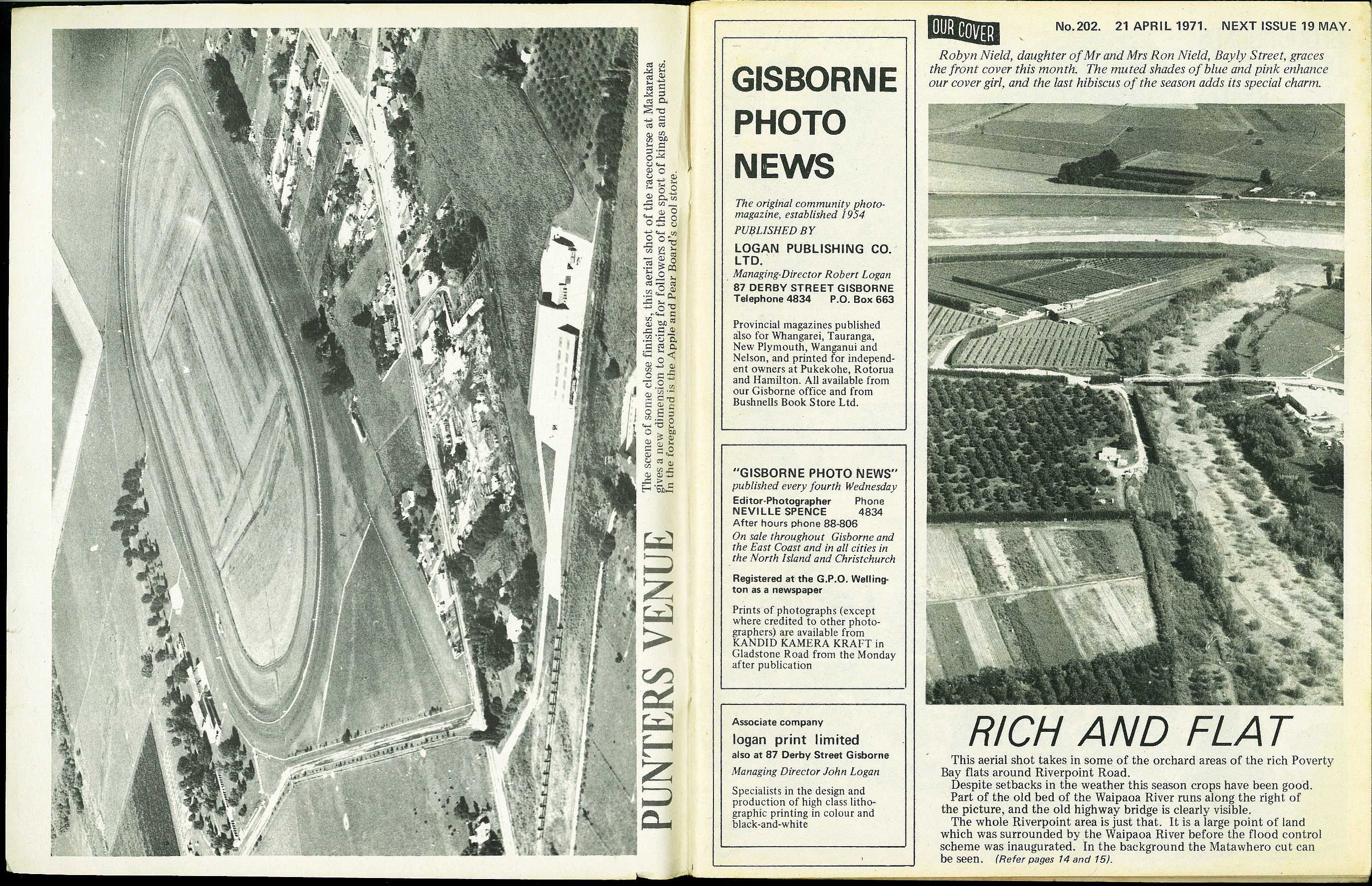
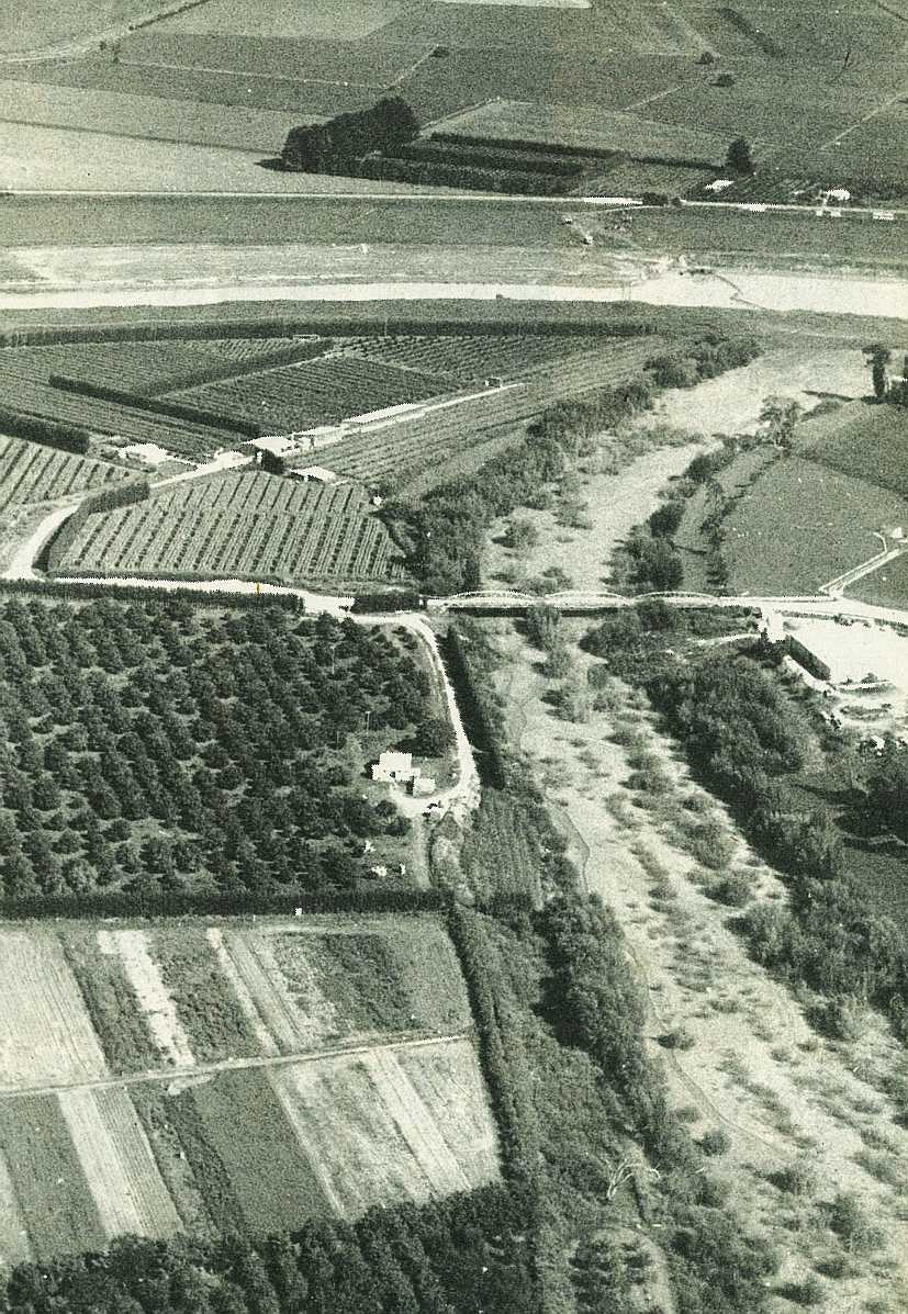
Rich and Flat
This aerial shot takes in some of the orchard areas of the rich Poverty Bay flats around Riverpoint Road.
Despite setbacks in the weather this season crops have been good. Part of the old bed of the Waipaoa River runs along the right of the picture, and the old highway bridge is clearly visible.
The whole Riverpoint area is just that. It is a large point of land which was surrounded by the Waipaoa River before the flood control scheme was inaugurated. In the background the Matawhero cut can be seen.

; void 0)
; void 0)
; void 0)