58
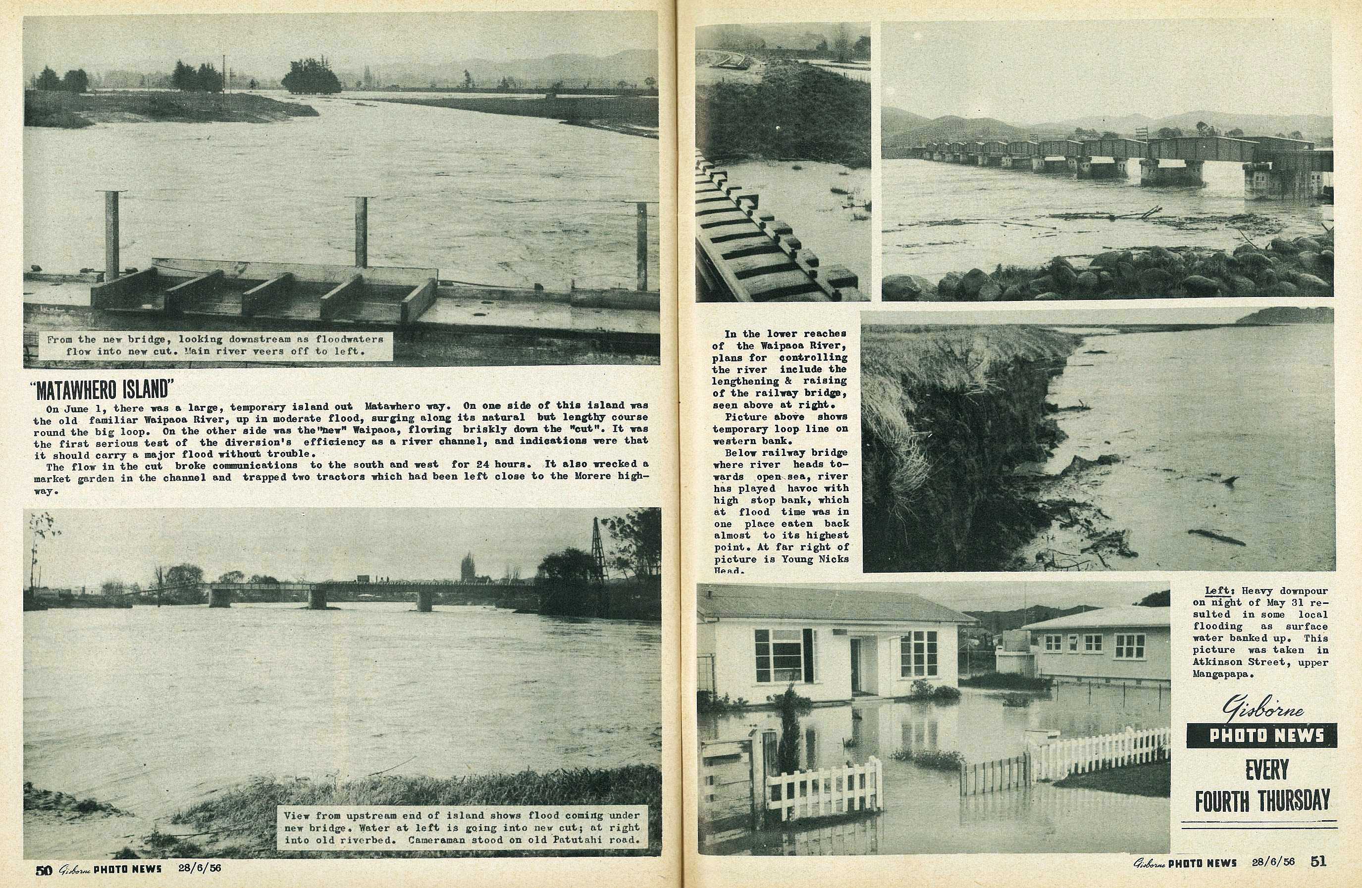
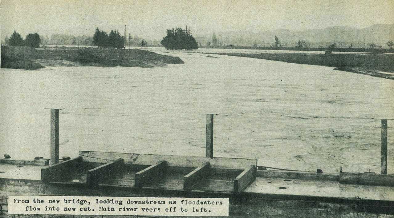
"Matawhero Island"
On June 1, there was a large, temporary island out Matawhero way. On one side of this island was the old familiar Waipaoa River, up in moderate flood, surging along its natural but lengthy course round the big loop. On the other side was the "new" Waipaoa, flowing briskly down the "cut". It was the first serious test of the diversion's efficiency as a river channel, and indications were that it should carry a major flood without trouble.
The flow in the cut broke communications to the south and west for 24 hours. It also wrecked a market garden in the channel and trapped two tractors which had been left close to the Morere highway.
59
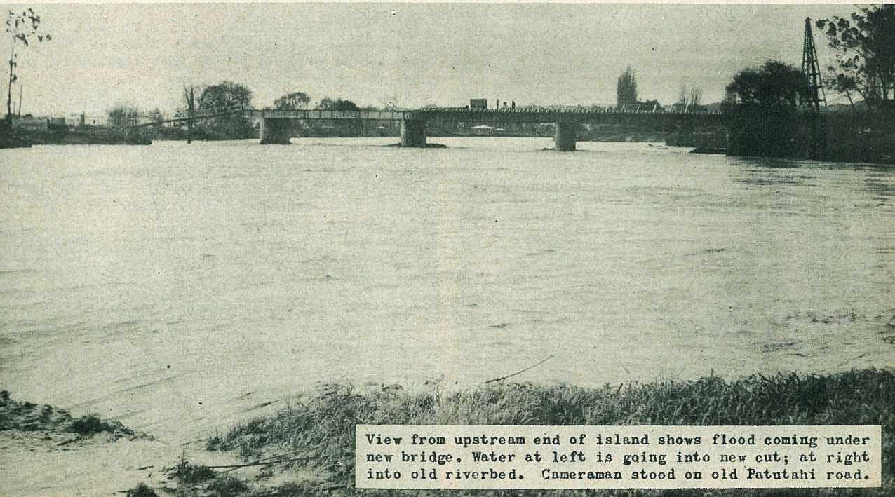
In the lower reaches of the Waipaoa River, plans for controlling the river include the lengthening & raising of the railway bridge, seen above at right.
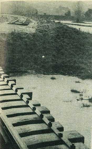
Picture above shows temporary loop line on western bank.
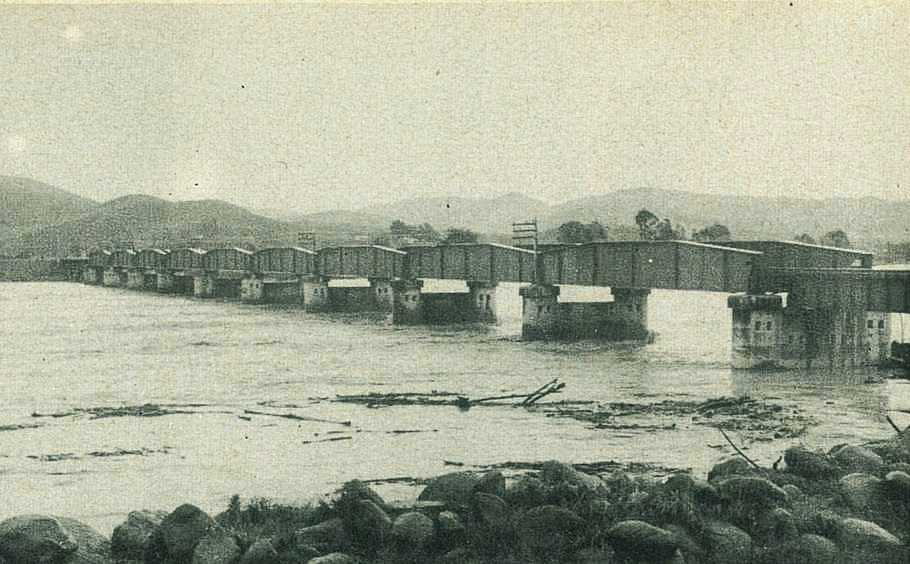
Railway bridge where river heads towards open sea, river has played havoc with high stop bank, which at flood time was in one place eaten back almost to its highest point. At far right of picture is Young Nicks Head.

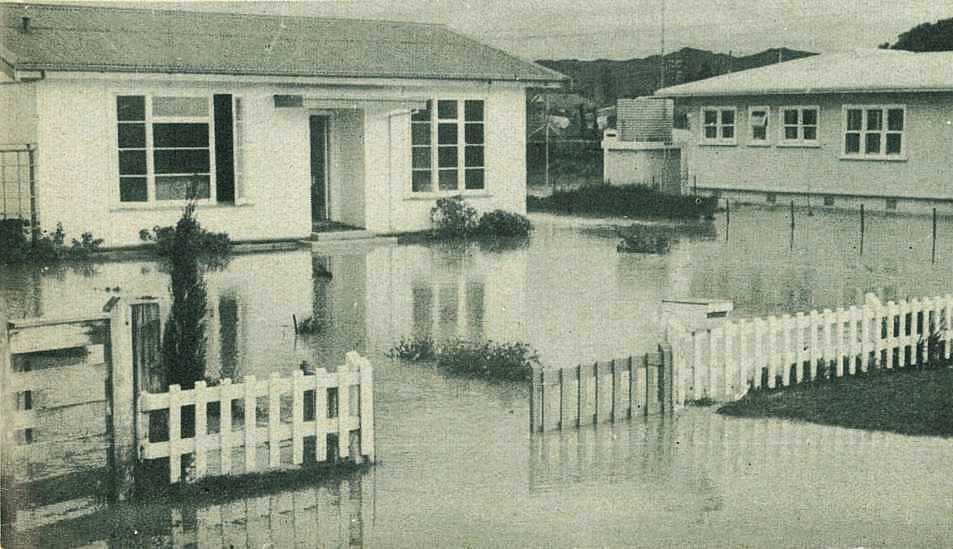
Heavy downpour on night of May 31 resulted in some local flooding as surface water banked up. This picture was taken in Atkinson Street, upper Mangapapa.

; void 0)
; void 0)
; void 0)
; void 0)
; void 0)
; void 0)
; void 0)
; void 0)
; void 0)
; void 0)
; void 0)
; void 0)
; void 0)
; void 0)
; void 0)
; void 0)
; void 0)
; void 0)