56
Pictures From The Past
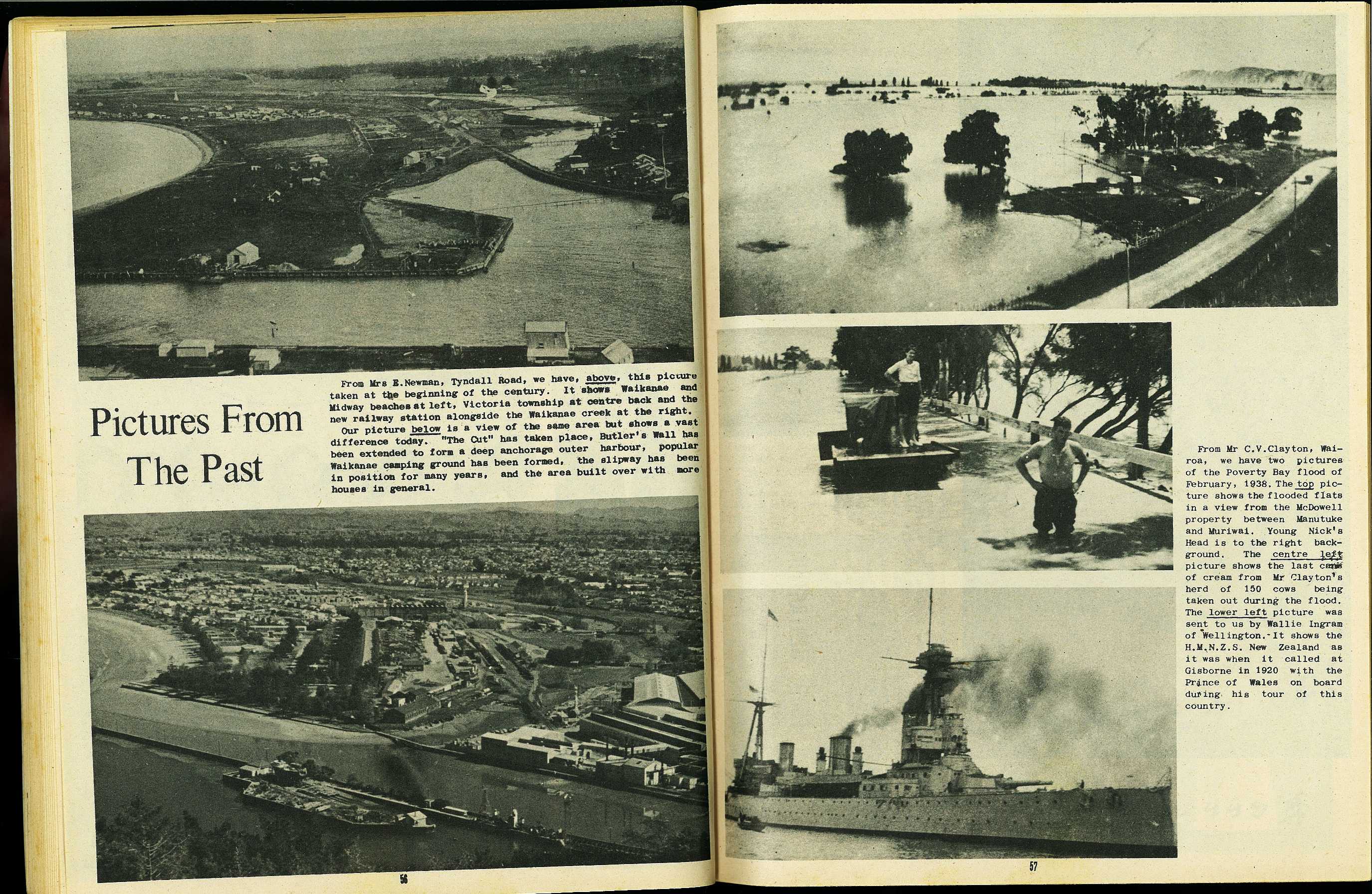
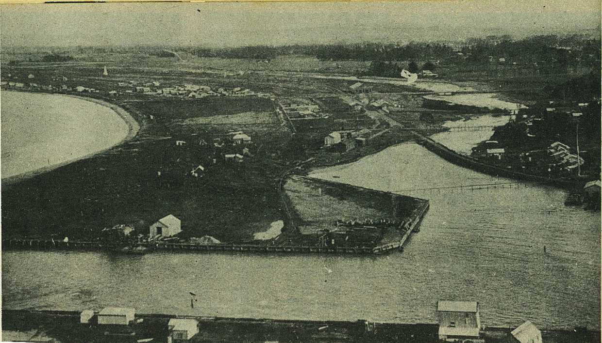
From Mrs E. Newman, Tyndall Road, we have, above, this picture taken at the beginning of the century. It shows Waikanae and Midway beaches at left, Victoria township at centre back and the new railway station alongside the Waikanae creek at the right.
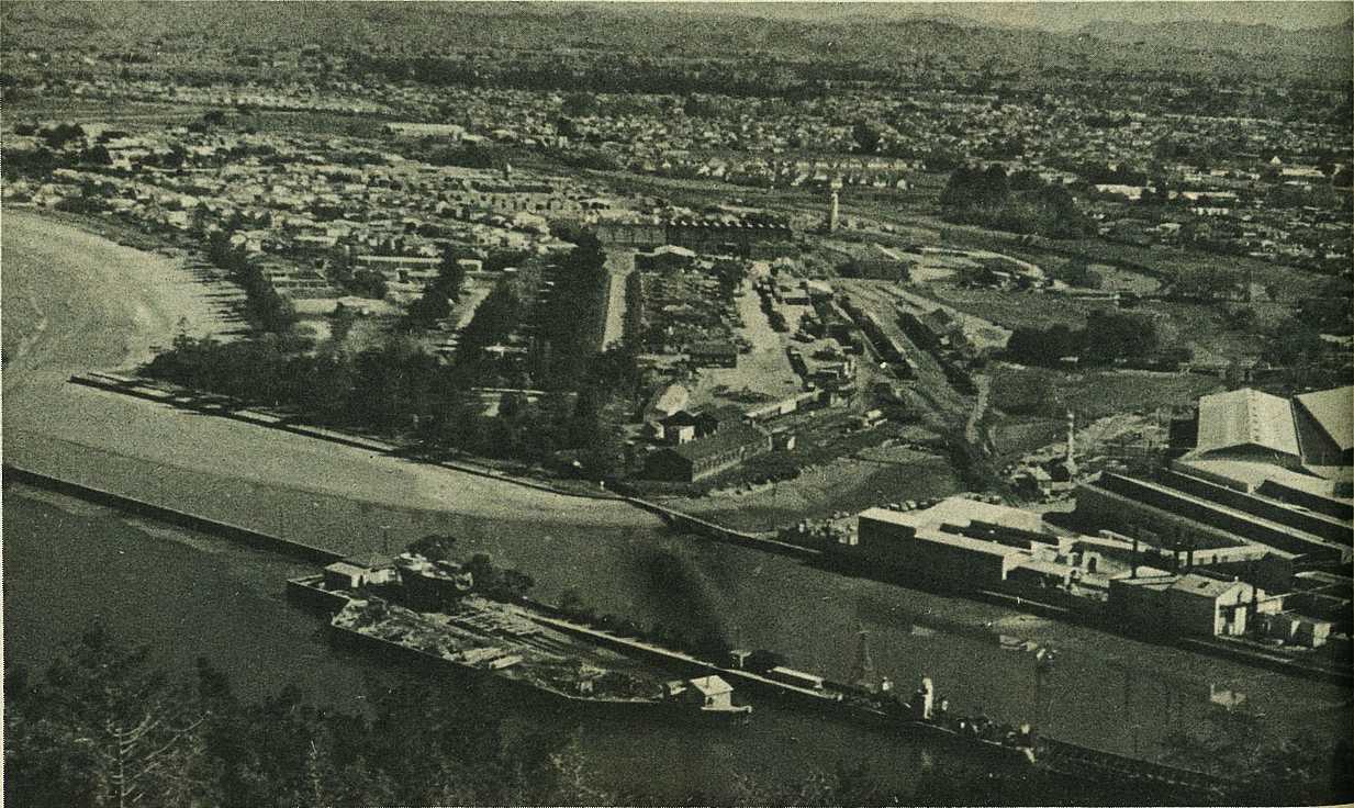
Our picture below is a view of the same area but shows a vast difference today. "The Cut" has taken place, Butler's Wall has been extended to form a deep anchorage outer harbour, popular Waikanae camping ground has been formed, the slipway has been in position for many years, and the area built over with more houses in general.
57
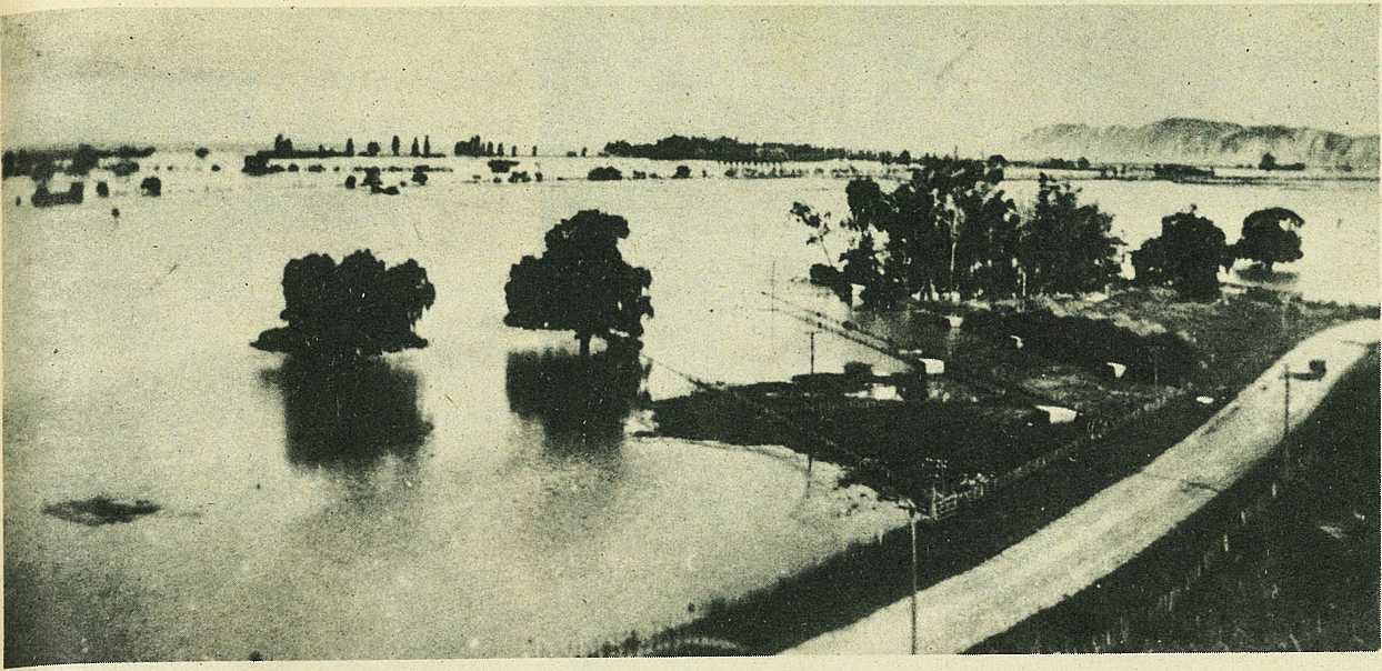
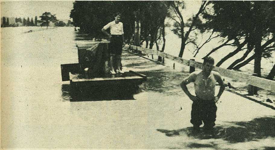
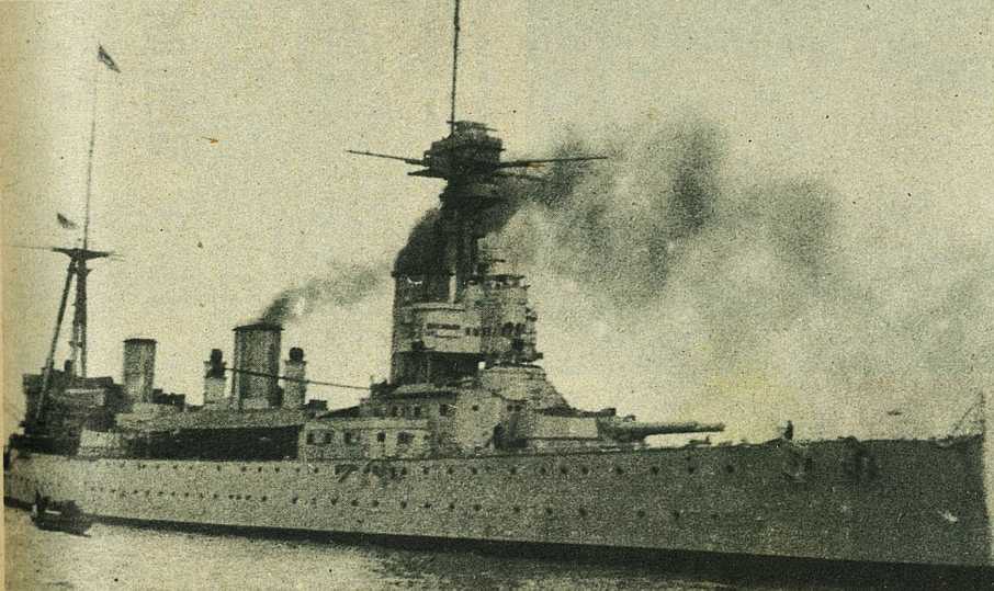
From Mr C. V. Clayton, Wairoa, we have two pictures of the Poverty Bay flood of February, 1938. The top picture shows the flooded fIats in a view from the McDowell property between Manutuke and Muriwai. Young Nick's Head is to the right background . The centre left picture shows the last < unclear >ca</ unclear > of cream from Mr Clayton's herd of 150 cows being taken out during the flood. The lower left picture was sent to us by Wallie Ingram of Wellington. It shows the H.M.N.Z.S. New Zealand as it was when it called at Gisborne in 1920 with the Prince of Wales on board during his tour of this country.

; void 0)
; void 0)
; void 0)
; void 0)
; void 0)
; void 0)
; void 0)
; void 0)
; void 0)
; void 0)
; void 0)
; void 0)
; void 0)
; void 0)
; void 0)